 Biking
 Login
Login
 More
More
 EN
EN
 Premium
From the Flemish Ardennes to the Lys and back
automatic translation
95.5 km • Wortegem-Petegem
2.5632 0 0/5

 Addresse starting point (approximate)
Ooikeplein, 9790 Ooike, BE
 signage
The route is fully signposted with nodes.
 Description
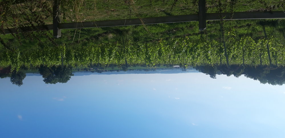
The first 35 km was a hilly landscape with beautiful views! Through Wortegem-Petegem and Elsegem, I cycle to the Scheldt.
In Elsegem, you come across several nice terraces. Along the Scheldt, in Melden, you find a very large golf course. A bit before Oudenaarde, the route leads me back inland.
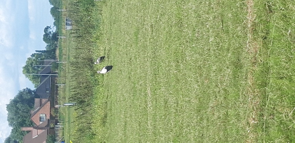
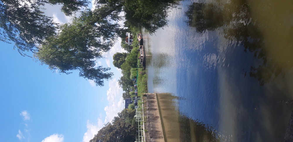
In Petegem-on-the-Scheldt, I was surprised to see 10 storks in a meadow. For a moment, I felt like I was in the Vosges😊. After Wannegem-Lede, having passed the last hill, I quickly arrive in the beautiful Lys region, with the highlight being the lock of Astene (very nice terrace there) and the crossing of an old arm of the Lys with a little boat that I could operate myself.
I continue cycling through Deinze to then follow the Lys a bit further from Olsene to Oeselgem. On the way, there is a raspberry picking garden with a lovely terrace.
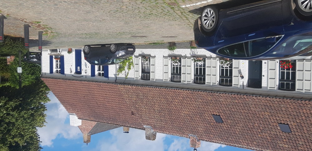
Then I cycle through the neighborhoods of Waregem back to Nokere where, after a final ascent, I reach the car. Very varied, beautiful bike ride!
automatic translation
 nodes to follow
0 km
2.6 km
5.5 km
6.3 km
9.9 km
12 km
13.9 km
15.1 km
20 km
24 km
24.9 km
26.5 km
26.5 km
29 km
33.2 km
35.7 km
36.7 km
38.5 km
39.9 km
40.7 km
42.3 km
44.2 km
44.5 km
48 km
49.3 km
50 km
51.2 km
54 km
55 km
56 km
59.6 km
59.9 km
64.7 km
66.2 km
68.8 km
70.3 km
72.3 km
72.7 km
75.3 km
75.8 km
79.2 km
79.7 km
80.2 km
82 km
83.2 km
84 km
87 km
90.8 km
92 km
95.5 km


 Upgrade to Premium Plus
