Biking
 Login
Login
 More
More
 EN
EN
 Premium
Ovelo – Four streams and a castle
43 km • Burg Reuland
 official route
2.2663 1 3.5/5

 Addresse starting point (approximate)
Von-Orley-Straße, Burg Reuland 24, 4790 Burg Reuland
 signage
The route is fully signposted with nodes.
 Description
Along the border between East Belgium and Wallonia you go past a few villages. They lie peacefully in the open landscape where the Ulf and the Braunlauf rise. Those dense woods seem a long way off now ... until you cross the Braunlauf in Galhausen and suddenly find yourself surrounded by trees again.
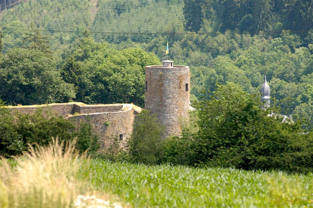
You climb to an altitude of 530 m here. When you get to the top, there's a vast panorama out over the Ulf valley awaiting you. Along the Hasselbach, you then come to the Vennbahn, embedded in the landscape, characterised as it is by the Braunlauf and the Our. In Hemmeres (D) the route brushes the German border, turning at the end of the Our valley towards one of the tributaries. Somewhat hidden away, Burg Reuland lies in the valley of the Ulf. It is one of East Belgium's oldest villages and the end of this tour.
Junction nodes: 72 > 74 > 71 > 76 > 97 > 96 > 93 > 79 > 80 > 63 > 62 > 64 > 66 > 52 > 53 > 58 > 57 > 54 > 55 > 75 > 72
 nodes to follow
0 km
3.5 km
4.2 km
7.9 km
8.6 km
8.9 km
11.3 km
12.2 km
16.3 km
17.3 km
20 km
20.7 km
22.6 km
24.2 km
26.8 km
30.8 km
31 km
34.5 km
36 km
41.9 km
42.9 km



 Upgrade to Premium Plus