 Biking
 Login
Login More
More EN
EN Premium
Ovelo - The land of St. Vith
automatic translation
28.1 km • Saint Vith
 official route
520 0 0/5
route offered by
 Addresse starting point (approximate)
Vennbahnstraße 2, 4780 St.Vith
 signage
The route is fully signposted with nodes.
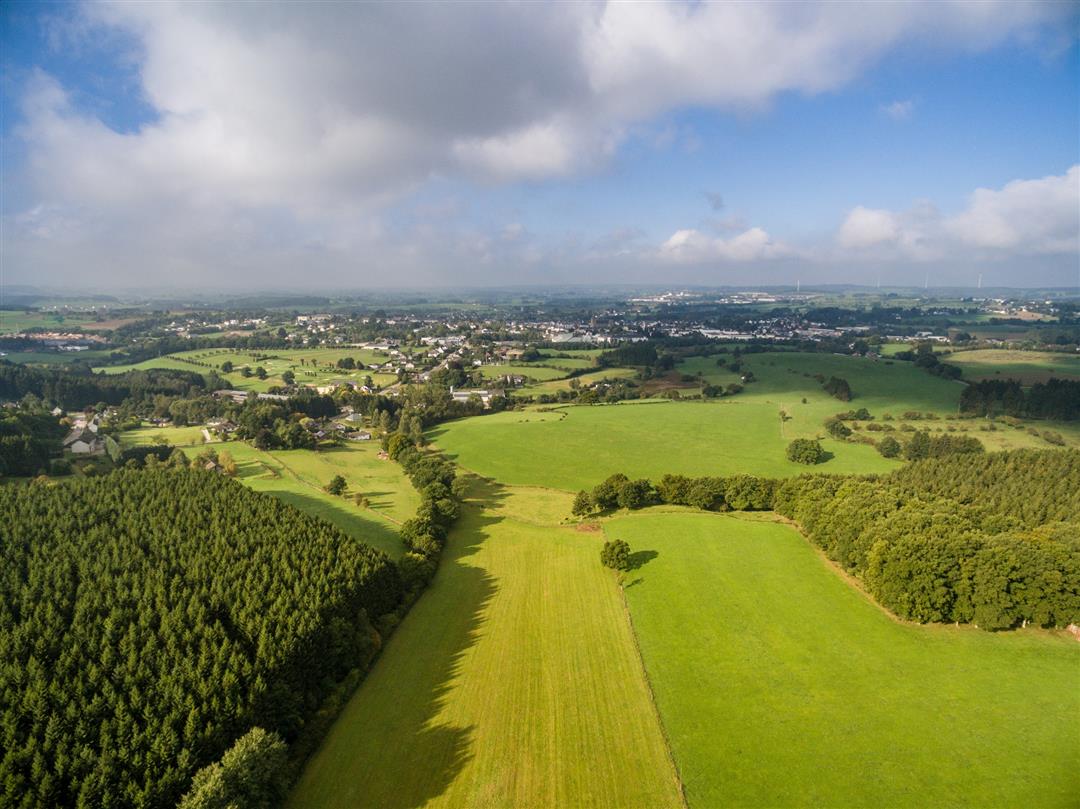
 Description
The region around St. Vith is characterized by open landscapes and extensive farmland. The route also passes through the Emmelserwald.
The first 10 km you cycle on the Vennbahn towards Waimes. On both sides of the old railroad line, which has been transformed into a bike path, you have an unobstructed view of the vast meadows and marshy areas of the nature reserve between Born and Montenau. Even after leaving the Vennbahn, you are not really immersed in dense forests. Only after passing through Recht does a long climb through the vast Emmelserwald await you. A stop at the unusual "Beer Museum" decorated with hundreds of glasses and beer bottles from all over the world is more than worth it. It is located at 580 meters altitude in Rodt. After this village follows Neundorf, which is particularly notable for its white church and high viaduct. The return to the starting point is now in sight.
Junctions : 84 > 50 > 35 > 39 > 32 > 34 > 156 > 160 > 169 > 66 > 52 > 49 > 84
automatic translation
 nodes to follow
0 km
0.8 km
5 km
6.4 km
7.3 km
8.4 km
10.3 km
12.9 km
17.8 km
18.9 km
23.4 km
25.1 km
27.6 km
28 km


 Upgrade to Premium Plus
