 Biking
 Login
Login
 More
More
 EN
EN
 Premium
Meuse Route Limburg
77 km • Riemst
 official route
6.0974 0 0/5
 Addresse starting point (approximate)
Parking Onder de brug, Jekerstraat 4
 signage
The route is fully signposted with thematic signs (no nodes).
 Description
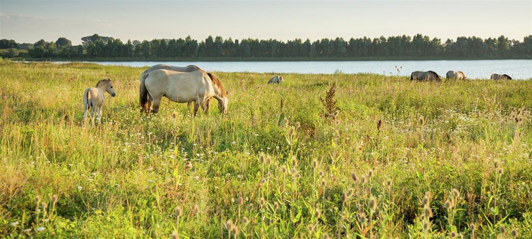
You cycle along a string of historic villages and endless banks in the Limburg Meuse region. On the embankment there is not a car in sight, only picturesque stops such as the shady market square of Maaseik and the most beautiful village in Flanders: Oud-Rekem. That the Meuse is boss here, you quickly notice! The river is unnavigable and is given room here to meander its graceful way through the Maasland. You pedal with migratory birds at your side and wild grazers in your field of vision, past gravel ponds, old estuaries and more beauty than we can list here. Taking a tourke? Hop on a ferry and cross the Meuse to discover the Dutch bank. Via the Dutch LF Maasroute you return smoothly to your starting point.
automatic translation
 nodes to follow
0 km
2.5 km
2.6 km
2.6 km
2.7 km
2.8 km
3 km
3 km
6.2 km
9.4 km
9.5 km
13.9 km
14.1 km
17.6 km
20.6 km
22.6 km
28.5 km
31 km
32.1 km
36 km
38.2 km
40.3 km
40.7 km
45.1 km
45.4 km
46.1 km
51.6 km
53.4 km
57.2 km
59.1 km
63.8 km
63.9 km
65.6 km
66.4 km
68 km
69.5 km
71.8 km
76.7 km
77.3 km


 Upgrade to Premium Plus
