 Biking
 Login
Login
 More
More
 EN
EN
 Premium
Waaslandhaven bicycle route
automatic translation
48.2 km • 9130 Kallo
 official route
9.28515 1 4/5
 Addresse starting point (approximate)
Ketenislaan, 9130 Kallo
 signage
The route is fully signposted with nodes.
 Description
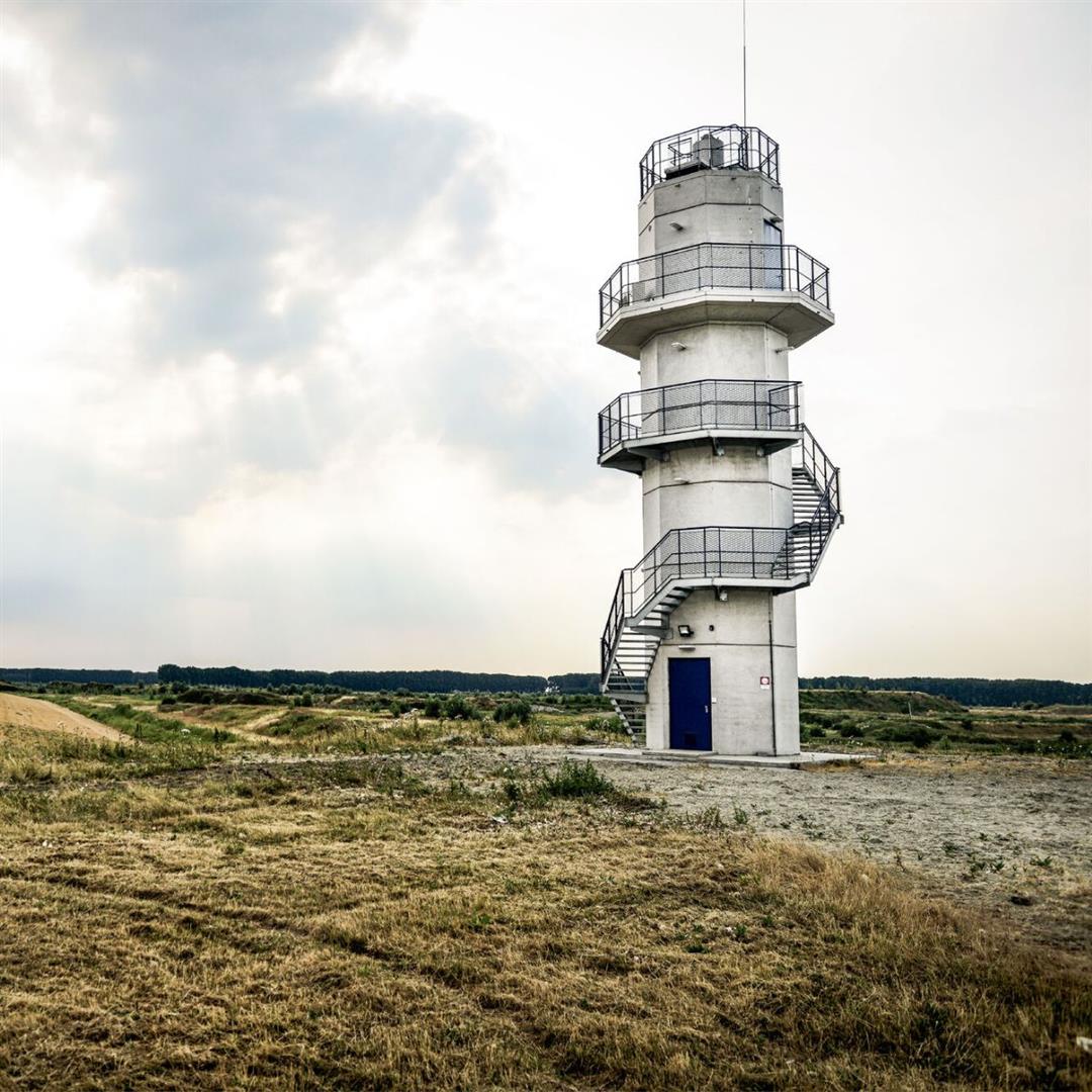
The Harbour Route leads you from Fort Liefkenshoek, across the largest lock in the world, past Doel and numerous meadow bird areas to the delightful polder village of Kallo. Here you flash from one contrast to another: from towering container ships to centuries-old forts, from wild horses to world-class industrial architecture, from the simply small to the immensely large.
automatic translation
 nodes to follow
0 km
7 km
7.9 km
10.9 km
14.9 km
18.9 km
21.5 km
23.2 km
25.9 km
28.7 km
28.8 km
34.3 km
38.1 km
48.1 km
Wednesday, August 7, 2024 by E.F.Beautiful route , watch out at fort liefenkenshoek , drive down the dike and cross the road , there you will find a sign n°17 , also not much opportunity to drink something , so take enough with you . In harbor area a lot of traffic and some crossings at intersections (there are traffic lights). Good luck and have a good ride . Fort closed on Monday and Tuesday
automatic translation


 Upgrade to Premium Plus
