 Biking
 Login
Login
 More
More
 EN
EN
 Premium
Between Scheldt and Zeeland bicycle route
automatic translation
137.3 km • Beveren-Kruibeke-Zwijndrecht
 official route
3.2522 1 4/5
137.3 km
0.0 km
0.0 km
 Addresse starting point (approximate)
Beekdam 2, 9150 Beveren-Kruibeke-Zwijndrecht
 signage
The route is fully signposted with nodes.
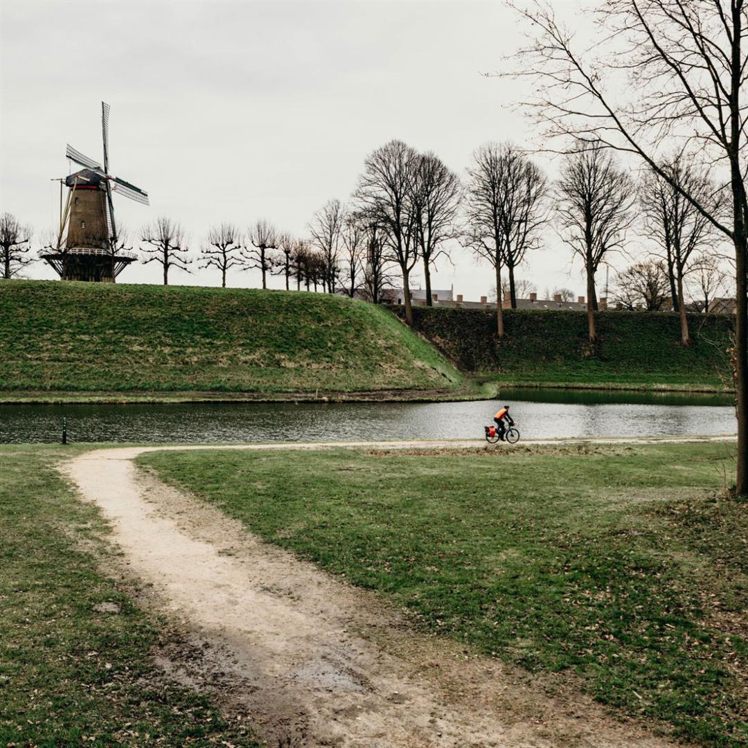
© Griet Vandepitte
 Description
A long trip through the eastern part of the Waasland region, perfect for a two-day bike ride. You start at the Scheldt in Basel, and then set course for Zeeland. On the way, you pass nature spots such as the Polders of Kruibeke, the Drowned Land of Saeftinghe and the Kreken of Saleghem, as well as Sint-Niklaas, Hulst, Doel and Beveren.
automatic translation
 nodes to follow
0 km
5.7 km
8.3 km
8.7 km
9.9 km
16.3 km
17.3 km
19.8 km
20.3 km
22.6 km
26.7 km
30.5 km
32.6 km
33.2 km
35.3 km
36.6 km
39.8 km
43.2 km
45 km
47.9 km
52.7 km
52.7 km
52.8 km
53.7 km
54 km
54.2 km
60.3 km
62.6 km
63.1 km
65.3 km
65.3 km
69.6 km
71.7 km
74.5 km
74.5 km
76.8 km
76.9 km
82.4 km
83.5 km
84.6 km
94.6 km
104.7 km
111.7 km
112.6 km
115.6 km
119.6 km
121.9 km
122.2 km
124.5 km
127.3 km
131.1 km
132.2 km
133.3 km
136.1 km
137.1 km


 Upgrade to Premium Plus
