Loading...

Return trip Antwerp-Ghent

automatic translation

76.7 km • 2000 Antwerpen

Icon official route official route

3.2214 0 0/5

76.7 km 0.0 km 0.0 km

route offered by

Badge of official route

more info

Icon starting point Addresse starting point (approximate)

Steenplein, 2000 Antwerpen

Icon type signage of route signage

The route is fully signposted with nodes.
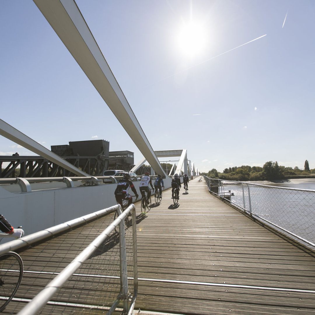
5m 5m 5m 5m
© David Samyn

Icon description route Description

From Antwerp to Ghent (or vice versa) you obviously don't cycle on busy brick roads. That's what the towpaths at junctions along the Scheldt are for! Since the arrival of DeWaterbus, these have suddenly become very accessible: an open invitation to this XL cycling trip between the two cities. You can always return by bike on the train!

automatic translation

Icon nodes to follow nodes to follow

Image node 4
0 km
Image node 1
0.6 km
Image node 31
1.7 km
Image node 31
1.8 km
Image node 6
2.3 km
Image node 5
3.2 km
Image node 5
3.2 km
Image node 83
3.6 km
Image node 72
5.2 km
Image node 72
5.3 km
Image node 52
6.4 km
Image node 7
9.2 km
Image node 7
9.5 km
Image node 12
10.6 km
Image node 22
12.7 km
Image node 66
16.1 km
Image node 34
18.7 km
Image node 37
20.1 km
Image node 41
21.9 km
Image node 42
22.6 km
Image node 42
22.6 km
Image node 46
25.5 km
Image node 45
26.2 km
Image node 65
27.5 km
Image node 68
31.1 km
Image node 68
31.3 km
Image node 74
33.3 km
Image node 76
34.8 km
Image node 76
35.1 km
Image node 83
37.8 km
Image node 90
39 km
Image node 95
43.4 km
Image node 62
45.8 km
Image node 56
47.2 km
Image node 51
50.2 km
Image node 69
51.5 km
Image node 69
51.7 km
Image node 71
53.5 km
Image node 91
53.7 km
Image node 74
54 km
Image node 78
56 km
Image node 77
56.4 km
Image node 76
57 km
Image node 76
57.1 km
Image node 75
62.1 km
Image node 75
62.2 km
Image node 74
64.5 km
Image node 86
68.6 km
Image node 78
72.6 km
Image node 72
72.8 km
Image node 71
73.8 km
Image node 49
76.6 km
This route does not have any reviews yet. Be the first!
Rate route!

Which POI do you want to show on the map?

Experimental cycling network
Unsigned icon

The route you have chosen runs (partly) along an experimental virtual cycling node network (the blue-coloured nodes and sections on the map).

You must be logged in to plan routes here.

Experimental cycling network
Unsigned icon

The route you have chosen runs (partly) along an experimental virtual cycling node network (the blue-coloured nodes and sections on the map).

These routes are not controlled in the field. Before you start cycling here, take a minute to read what an experimental cycling node network is and what rules you should follow when cycling here.