 Biking
 Login
Login
 More
More
 EN
EN
 Premium
Around Ghent and Destelbergen cycling route
automatic translation
38.3 km • 9000 Gent
 official route
5.3137 3 3.8/5
 Addresse starting point (approximate)
Zuiderlaan 1, 9000 Gent
 signage
The route is fully signposted with nodes.
 Description
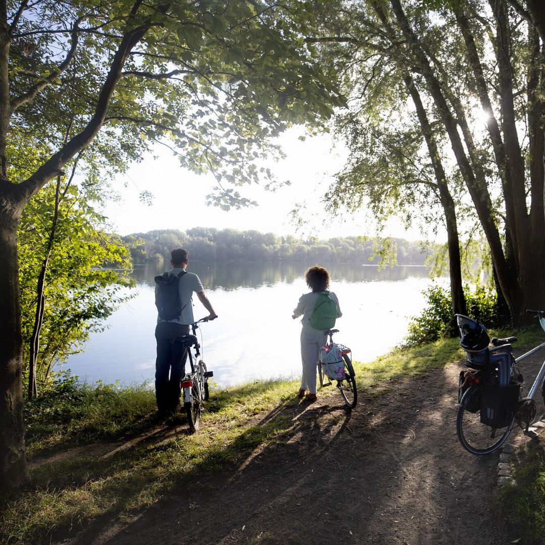
On this cycle route you cycle from Ghent to the green borough of Destelbergen. On the way, you pass relaxing natural spots such as the Bourgoyen, the Gentbrugse Meersen and the Damvallei Lake.
automatic translation
 nodes to follow
0 km
0.4 km
0.8 km
1.4 km
1.6 km
2.1 km
2.2 km
2.4 km
3.5 km
3.6 km
4 km
5.6 km
5.7 km
6.7 km
9.5 km
9.9 km
10.9 km
15.6 km
16.6 km
19.4 km
20.2 km
21.2 km
23.5 km
25.1 km
25.7 km
27.1 km
27.3 km
27.8 km
27.8 km
28.9 km
29.8 km
30.3 km
30.4 km
32.1 km
34.7 km
35.9 km
36.7 km
38.2 km
Thursday, May 7, 2026 by Dirk D'HaeyerA beautiful bike route where I joined up in Destelbergen at marker 8 and followed the route toward Ghent. Since it was still early in the morning, I was constantly being overtaken by cyclists of all sizes riding at high speeds. Why all that aggression? In Gentbrugge, the hunting trail is closed due to the construction of a bridge over the Scheldt. A map would be helpful.
automatic translation
Thursday, August 1, 2024 by Greetje Coolsmany green areas: shadow of the trees - green zone - towpaths - along the water, some catering establishments - use this bicycle tour as a 1st junction --> too difficult --> in the city there is confusion because of the placards of Fietsautostrade - many intersections to cross - for people from the city this will be ideal, good connections
automatic translation
Monday, May 27, 2024 by P.S.Beautiful route. Too bad the junction indications are too often missing, pointing back (between 31 and 92) The route gets 5, for the indication 2.5 is sufficient.
automatic translation


 Upgrade to Premium Plus
