 Biking
 Login
Login
 More
More
 EN
EN
 Premium
Scheldt bicycle route between Merelbeke and Oudenaarde
automatic translation
60.6 km • Merelbeke-Melle
 official route
4.4993 1 5/5
 Addresse starting point (approximate)
Zwijnaardesteenweg 99, 9820 Merelbeke
 signage
The route is fully signposted with nodes.
 Description
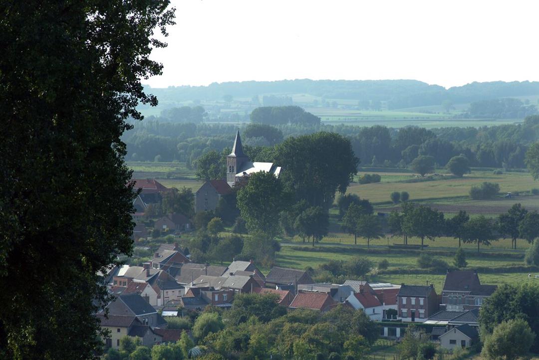
On this bicycle tour you will discover the area along the river Scheldt between Merelbeke and Oudenaarde. You will pass lake areas such as the Merelbeekse Scheldemeersen and the Kaaimeersen, typical Flemish Ardennes villages with cozy cafes and the famous Ename. About halfway you can take a break on a terrace in the center of Oudenaarde.
automatic translation
 nodes to follow
0 km
0.6 km
2.5 km
4.7 km
7.8 km
10.3 km
10.8 km
12 km
14.3 km
16 km
16.9 km
18 km
18.9 km
20.2 km
20.3 km
23.5 km
24.9 km
28.7 km
29.6 km
31.1 km
31.1 km
31.4 km
31.6 km
32.3 km
32.8 km
34.7 km
35.6 km
37.5 km
39.9 km
42.5 km
42.6 km
44.5 km
46.7 km
48.1 km
51.2 km
51.9 km
54.3 km
56.3 km
57.6 km
59.6 km
59.8 km
60.5 km
Thursday, August 15, 2024 by S.D.Very nice route, just short stretches along busier roads.
There is an error in the route at point 65 to 55. In reality, the route is only +- 60km (we had to deviate in Gavere/Baaigem due to roadworks, so if we had followed 100% it would have been a bit less. )App use is recommended, ifv missing signs.
automatic translation


 Upgrade to Premium Plus
