 Biking
 Login
Login More
More EN
EN Premium
The Saint Anne's Trail (abbreviated).
automatic translation
22.8 km • Antwerp
 official route
1.0370 0 0/5
22.8 km
0.0 km
0.0 km
route offered by
 Addresse starting point (approximate)
Frederik van Eedenplein (voetgangerstunnel), 2050 Antwerpen
 signage
The route is fully signposted with thematic signs (no nodes).
© Frederik Beyens
 Description
(This is the shortened route of the Sint-Annekesroute.)
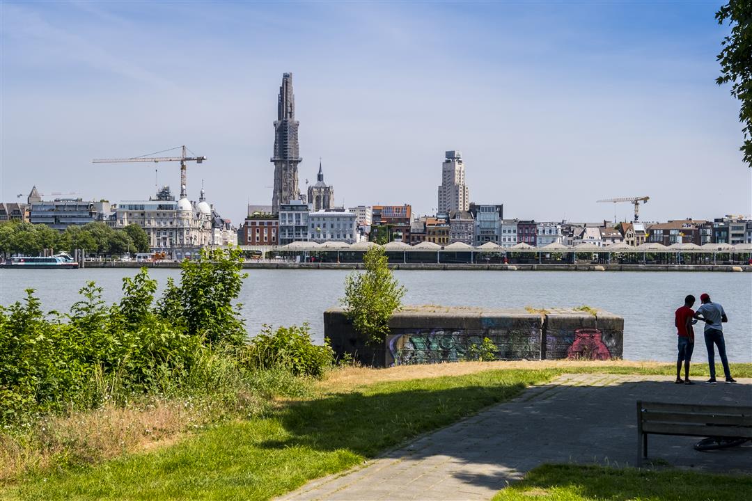
A day at Sint-Anneke ... Go discover why this is such a popular outing for Antwerpers. The Sint-Annekesroute connects Antwerp-left bank with the East Flemish Land of Waas.
You start at the beautiful pedestrian tunnel on Antwerp Left Bank and can choose a long loop (31km) or a shortened version (23km).
automatic translation


 Upgrade to Premium Plus
