 Biking
 Login
Login More
More EN
EN Premium
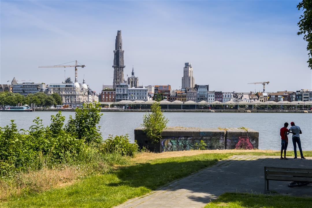
The Saint Anne's Trail
automatic translation
31.1 km • Antwerp
 official route
2.3250 1 4/5
route offered by
 Addresse starting point (approximate)
Frederik van Eedenplein (voetgangerstunnel), 2050 Antwerpen
 signage
The route is fully signposted with thematic signs (no nodes).
 Description
A day at Sint-Anneke ... Go discover why this is such a popular outing for Antwerpers. The Sint-Annekesroute connects Antwerp-left bank with the East Flemish Land of Waas.
You start at the beautiful pedestrian tunnel on Antwerp Left Bank and can choose a long loop (31km) or a shortened version (23km).
automatic translation
Alternative versions
Tuesday, March 1, 2022 by Dave BernaertsVery nice route to ride through fields and quiet residential areas (large part anyway). There are signs pointing the way but due to works here and there it is hard to find. Sometimes the paths are not too good and it is a bit of searching but all in all fun to do and quiet.
automatic translation


 Upgrade to Premium Plus
