Loading...

Between Ghent and the Meetjesland cycling route

automatic translation

78 km • Aalter

Icon official route official route

78 km 0.0 km 0.0 km

route offered by

Badge of official route

more info

Icon starting point Addresse starting point (approximate)

Aardenburgse Heerweg 2, 9910 Ursel

Icon type signage of route signage

The route is fully signposted with nodes.

5m 5m 5m 5m
© Toerisme Oost-Vlaanderen

Icon description route Description

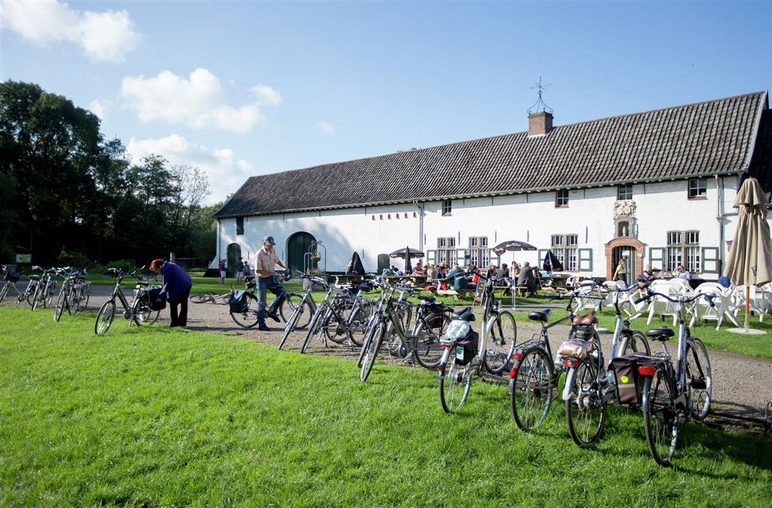
This bicycle route connects downtown Ghent with the Meetjesland. Along the way you pass the Leiedorp Drongen and its abbey, the landscape park Drongengoed and the valley of the Oude Kale. Good for 75 kilometers of cycling fun with many terraces along the way to take a rest.

automatic translation

Icon nodes to follow nodes to follow

Image node 89
0 km
Image node 74
1.2 km
Image node 70
4.7 km
Image node 77
6.9 km
Image node 88
8.5 km
Image node 4
11.5 km
Image node 1
13.5 km
Image node 6
15.3 km
Image node 10
16.1 km
Image node 12
17.3 km
Image node 18
18.1 km
Image node 14
18.4 km
Image node 29
20.6 km
Image node 64
20.8 km
Image node 48
21.4 km
Image node 55
23.4 km
Image node 46
24.4 km
Image node 60
25.5 km
Image node 59
27.1 km
Image node 58
29.3 km
Image node 57
29.4 km
Image node 62
32.1 km
Image node 63
32.2 km
Image node 56
33.9 km
Image node 55
34.8 km
Image node 55
35.7 km
Image node 52
36.6 km
Image node 4
39 km
Image node 31
40.8 km
Image node 92
46.1 km
Image node 83
48.5 km
Image node 48
52.7 km
Image node 34
53.7 km
Image node 30
54.6 km
Image node 28
55.7 km
Image node 15
58.5 km
Image node 13
58.6 km
Image node 9
59.8 km
Image node 59
62.8 km
Image node 53
65.4 km
Image node 65
66.8 km
Image node 67
67.5 km
Image node 64
67.5 km
Image node 68
70.2 km
Image node 75
73.7 km
Image node 82
74.7 km
Image node 89
78 km
This route has 1 review(s).
Rate route!

Sunday, June 5, 2022 by C.V.Beautiful bike route! Along the way you come across lots of nice places to stop. Chantal
automatic translation

Which POI do you want to show on the map?

Experimental cycling network
Unsigned icon

The route you have chosen runs (partly) along an experimental virtual cycling node network (the blue-coloured nodes and sections on the map).

You must be logged in to plan routes here.

Experimental cycling network
Unsigned icon

The route you have chosen runs (partly) along an experimental virtual cycling node network (the blue-coloured nodes and sections on the map).

These routes are not controlled in the field. Before you start cycling here, take a minute to read what an experimental cycling node network is and what rules you should follow when cycling here.