Loading...

Route nodemapp.com

16.6 km • Beekdaelen

16.6 km 0.0 km 0.0 km

Icon starting point Addresse starting point (approximate)

Raadhuisstraat 5, 6336 VH Hulsberg, NL

Icon type signage of route signage

The route is fully signposted with nodes.

5m 5m 5m 5m

Icon description route Description

Deze route is samengesteld met onze app.

Icon nodes to follow nodes to follow

Image node 82
0 km
Image node 46
1.4 km
Image node 26
1.5 km
Image node 28
2.1 km
Image node 51
2.7 km
Image node 16
3.7 km
Image node 42
3.8 km
Image node 41
4.4 km
Image node 13
5 km
Image node 40
5.7 km
Image node 54
6 km
Image node 81
6.7 km
Image node 87
7 km
Image node 92
7.4 km
Image node 55
8.1 km
Image node 64
8.2 km
Image node 47
8.4 km
Image node 61
9.4 km
Image node 84
9.4 km
Image node 85
9.8 km
Image node 91
10.2 km
Image node 38
11 km
Image node 52
11.2 km
Image node 17
11.4 km
Image node 27
12.3 km
Image node 62
13.3 km
Image node 87
15.5 km
Image node 82
16.5 km

Which POI do you want to show on the map?

Experimental hiking network
Unsigned icon

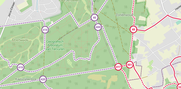
The route you have chosen runs (partly) along an experimental virtual hiking node network (the blue-coloured nodes and sections on the map).

You must be logged in to plan routes here.

Experimental hiking network
Unsigned icon

The route you have chosen runs (partly) along an experimental virtual hiking node network (the blue-coloured nodes and sections on the map).

These routes are not controlled in the field. Before you start hiking here, take a minute to read what an experimental hiking node network is and what rules you should follow when hiking here.