 Hiking
 Login
Login More
More EN
EN Premium
Along the Hellegat
automatic translation
7.8 km • Rotselaar
 official route
route offered by
 Addresse starting point (approximate)
Sint-Jobsweg 24, 3221 Holsbeek
 signage
The route is fully signposted with nodes.
 Description
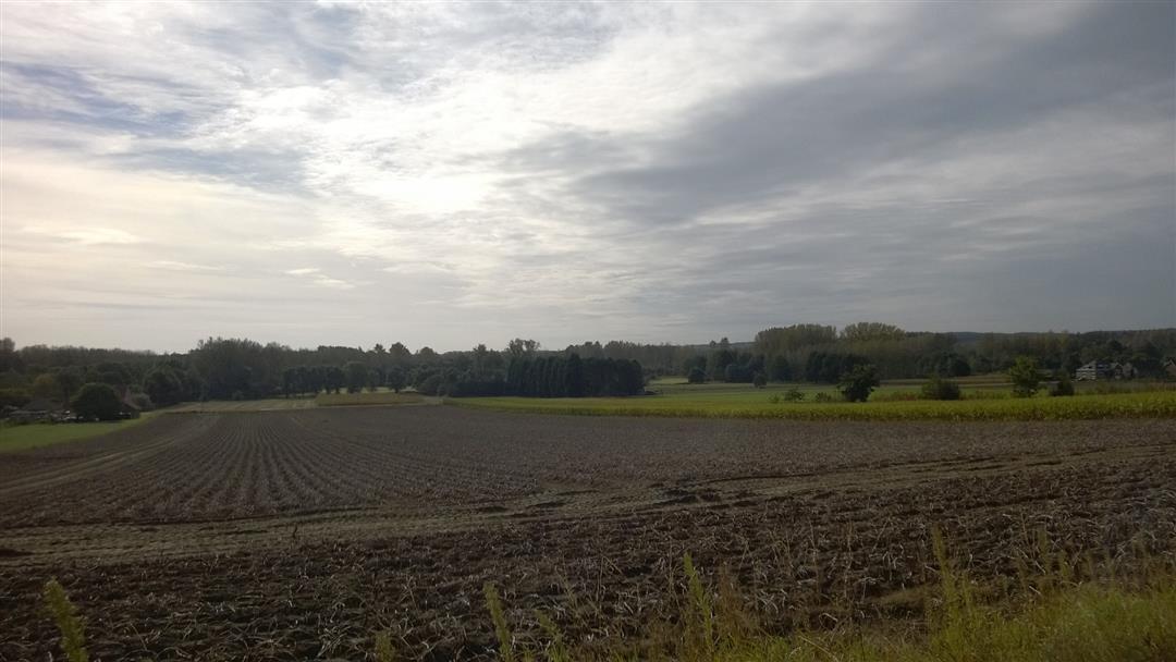
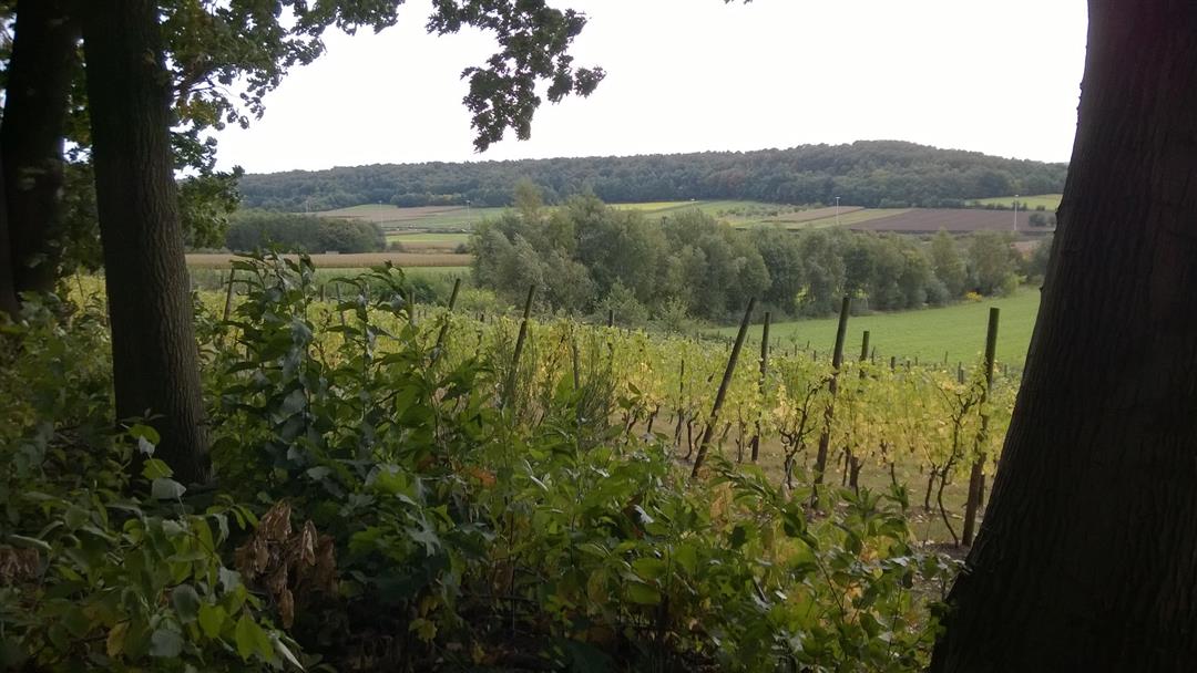
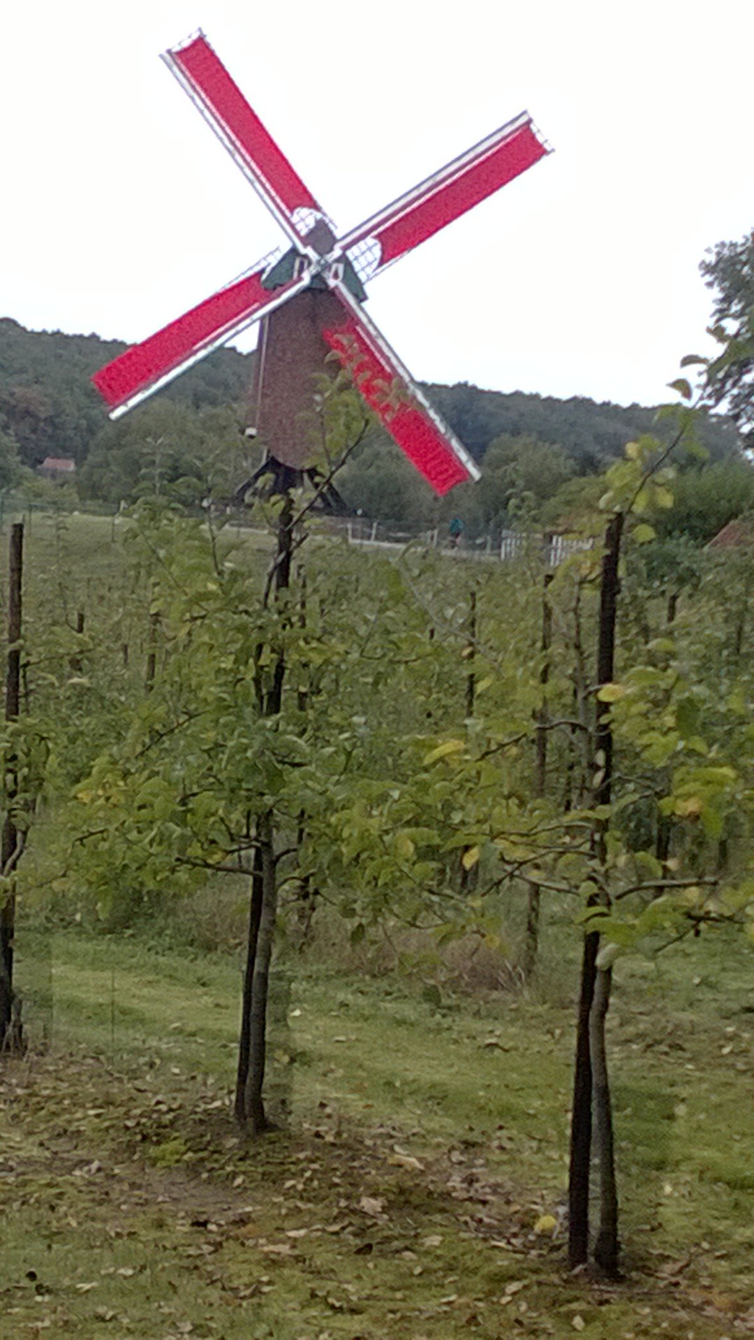
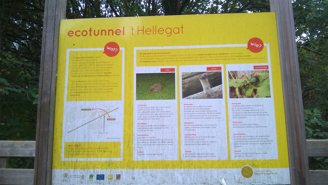
You follow part of the Benniksberg where you have a nice view of the valley. Above the bridge you have a view of the busy E314 but fortunately you don't notice anything else. You can only enjoy the silence and the green of the vineyards. Along the way, you come across a bench at node 65 with a beautiful view of the surroundings. We walk on to node 71 where there is a beautiful mill and you can have something to drink/eat. The way back goes under the E314, under the ECOtunnel to return along the vineyards.
You can park the car in the Blauwmolenstraat between node 146 and 68.
This route was sent in by Hilde Devleeschouwer.
automatic translation
 nodes to follow
0 km
1.2 km
1.3 km
2.7 km
3.2 km
4.3 km
5 km
5.3 km
6.4 km
6.4 km
6.5 km
7.2 km
7.4 km
7.8 km
Saturday, November 28, 2020 by Ivan Lindekensnice, but a little too many asphalt lanes
automatic translation
Saturday, November 30, 2019 by A.V.super nice hike with beautiful panoramas
the typical ironstone of this region is well visible on this route
automatic translation
Sunday, September 2, 2018 by Peter GielenPretty nice route with some tough climbs. Thanks for mapping it out.
For me personally it has 2 downsides unfortunately:
The 2 entrance gates for the nature reserve are fairly small for people with a size more.
I also found it unfortunate that half of the routo was paved.
Of course, this is a personal opinion.
automatic translation
Monday, December 18, 2017 by A.J.Varied hike along small roads, yet not too muddy (despite rainy weather)
automatic translation


 Upgrade to Premium Plus
