 Hiking
 Login
Login More
More EN
EN Premium
In and around Saint Pierre-Rode
automatic translation
6.2 km • Holsbeek
 official route
route offered by
 Addresse starting point (approximate)
Geestmolenstraat 2, 3220 Holsbeek
 signage
The route is fully signposted with nodes.
 Description
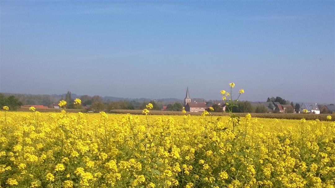
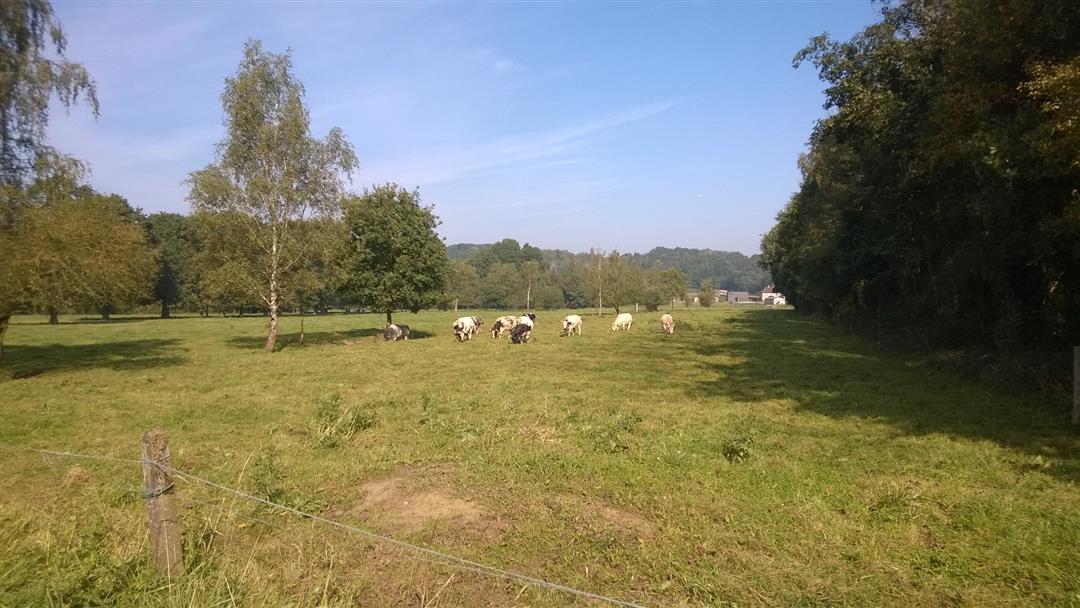
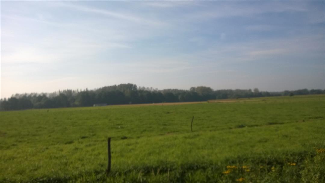
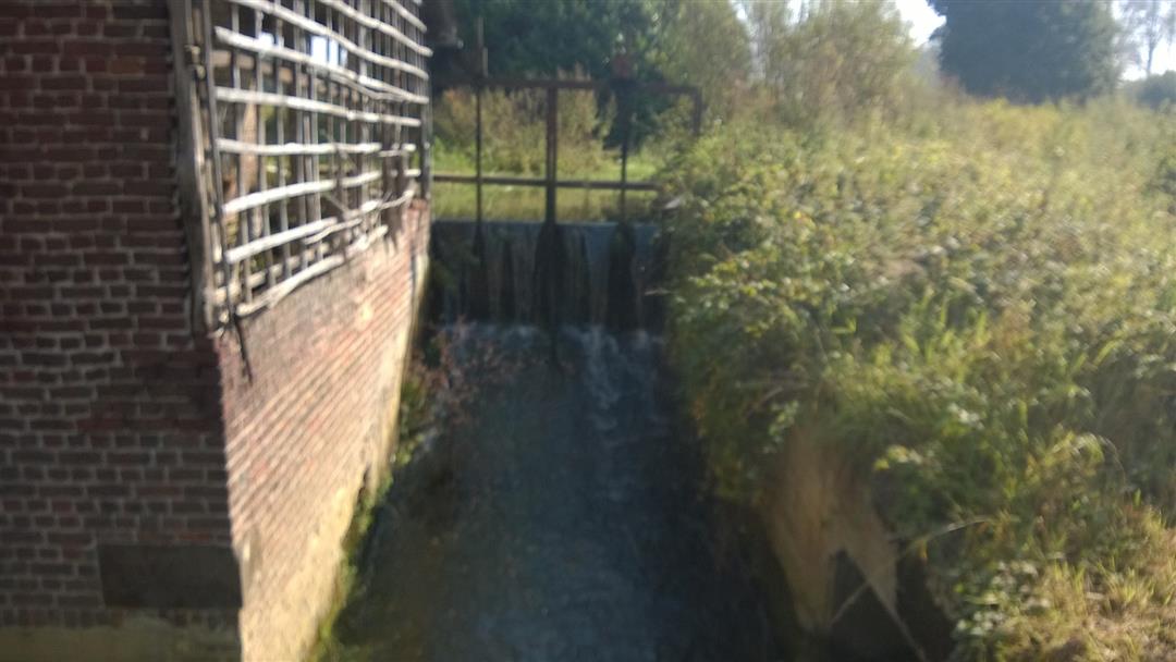
Departure at the church of Sint-Pieters-Rode (via Pastoriedreef you can start the walk on the route 145-131). The walk goes most of the time on paved roads, which is interesting in case of heavy rain. You pass by the Blauwmolen where you can have a drink/eat but be sure to take a look at the different ponds and at the water wheel. Further away you can enjoy the vineyards and the beautiful views.
This route was sent in by Hilde Devleeschouwer.
automatic translation
 nodes to follow
0 km
1 km
1.5 km
2.2 km
2.6 km
2.7 km
3.6 km
4.8 km
5.1 km
5.6 km
6.3 km
Monday, September 14, 2020 by W.T.Beautiful hike with nice views over the vineyards. Unfortunately, much of the hike runs along the route of the bicycle junctions and also a section of mountain bike route, which means that in sunny weather you have to walk continuously (without exaggeration) behind each other to let the cyclists pass.
automatic translation
Thursday, November 21, 2019 by M.D.Beautiful hike. Well marked too. A very steep slope. Beautiful views. Some paved roads, but no traffic. On some parts it can be quite swampy. Now it had frozen. That has its advantages!
I think it's better to leave at the church and walk from back to front via the pastoriedreef. At 131 there is no possibility of parking.
automatic translation


 Upgrade to Premium Plus
