 Hiking
 Login
Login
 More
More
 EN
EN
 Premium
Goosepool walk
automatic translation
10.4 km • Huldenberg
 official route
1.3310 12 4/5
route offered by
 Addresse starting point (approximate)
De Limburg Stirumlaan 54, 3040 Huldenberg
 signage
The route is fully signposted with nodes.
 Description
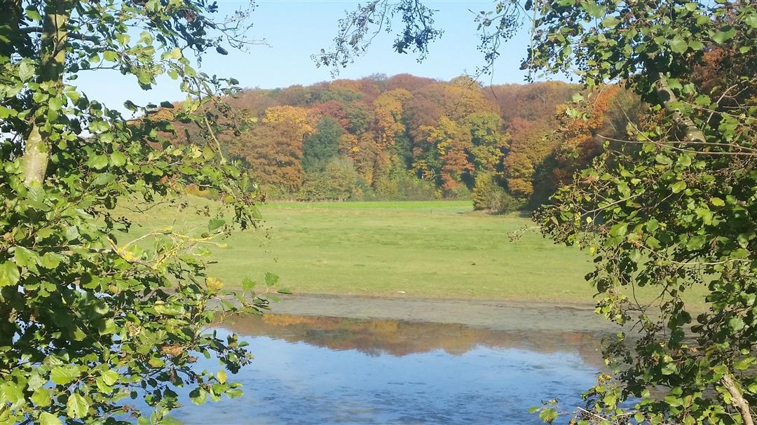
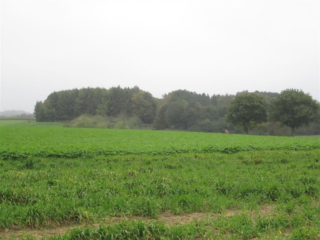
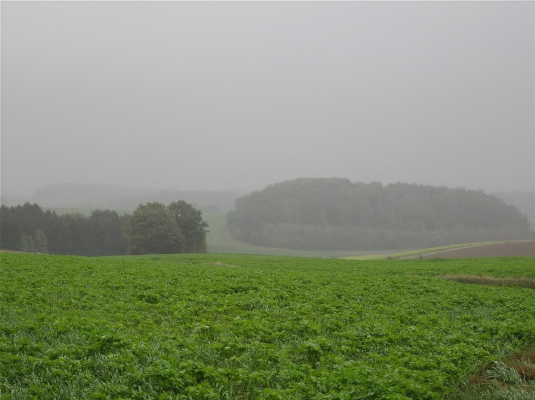
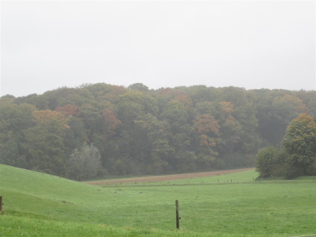
Starting at the Center Ganspoel in Huldenberg, the hike on the Brabant Clay Plateau passes through 3 neighboring (sub)municipalities. We hike mostly in the open field, with beautiful views that seem different every season and via nodes that are a little less frequented. Highly recommended for a quiet walk.
This route was sent in by Marc Scheys.
automatic translation
 nodes to follow
0 km
0.6 km
1.3 km
1.3 km
3.6 km
4.1 km
4.8 km
5.6 km
5.9 km
7.1 km
8 km
8.5 km
10.4 km
Sunday, March 5, 2023 by P.P.The hike is quiet though and certainly beautiful in the spring. But 95% on paved roads (and cobblestones) while there are so many other unpaved roads. Never again.
automatic translation
Sunday, May 1, 2022 by Yasmin VdCFine hike. In the beginning a bit worried by the amount of cycling tourists but on the entire hike this is not so bad. Mainly country roads and cobblestones what you have to expect in this region. Nice to walk with dogs. You get a very rural, restful feeling. Well marked, little confusion possible.
automatic translation
Sunday, March 6, 2022 by L.B.We are happy to confirm the previous comments. Very nice walk often in a quiet area, beautiful views. Perfect for a beautiful spring day.
automatic translation
Saturday, May 15, 2021 by A.T.How handsome nature is in the South Valley! Hike this trail on a sunny day with piling clouds to fully enjoy beautiful panoramas. Except for a few 100 meters completely unpaved trail. I combined this hike with the Margijs hike via KP217 and enjoyed the beautiful rolling landscapes for about 20 km. Topper!
automatic translation
Sunday, April 18, 2021 by E.K.Nice, quiet hike with beautiful views. Occasional steep climb. Much more paved roads than indicated. Best to park on the parking lot of Ganspoel.
automatic translation
Sunday, January 31, 2021 by S.V.Pretty nice hike. At the starting place not really parking to park outside on a small patch of grass
automatic translation
Monday, January 11, 2021 by S.V.Beautiful hike, with impressive views of a rolling landscape. You sometimes imagine yourself in another country! :-). If the weather is wet, boots are not a luxury here.
automatic translation
Saturday, September 12, 2020 by Katja MeulemansVery nice, quiet hike. Much more paved road than indicated, though
automatic translation
Friday, August 14, 2020 by Eef VerschuerenVery nice route. Very quiet hiking trails. Beautiful views. We enjoyed.
automatic translation
Wednesday, July 18, 2018 by Yves SwaelusBeing French-speaking, I am using this application for hiking for the first time. I discovered this hike and found it absolutely fantastic. Well modified and an incredibly beautiful trail.
automatic translation
Sunday, May 6, 2018 by R.E.Already done a lot of hiking and taking pictures in the Dijleland but still discovered some beautiful panoramas.
automatic translation
Wednesday, February 14, 2018 by M.L.Very nice walk, part of which (Inclusiepad Ganspoel) is also wheelchair accessible. After the hike, you can reminisce at the Countryside Café on the campus of Centrum Ganspoel. This pop-up café is open every 2nd and 4th Sunday of the month from March through October from 2:30pm to 6:00pm.
automatic translation


 Upgrade to Premium Plus
