 Hiking
 Login
Login More
More EN
EN Premium
Another Feed Walk
automatic translation
10 km • Bertem
 official route
1.2140 5 4.5/5
route offered by
 Addresse starting point (approximate)
Dorpstraat, 3061 Leefdaal
 signage
The route is fully signposted with nodes.
 Description
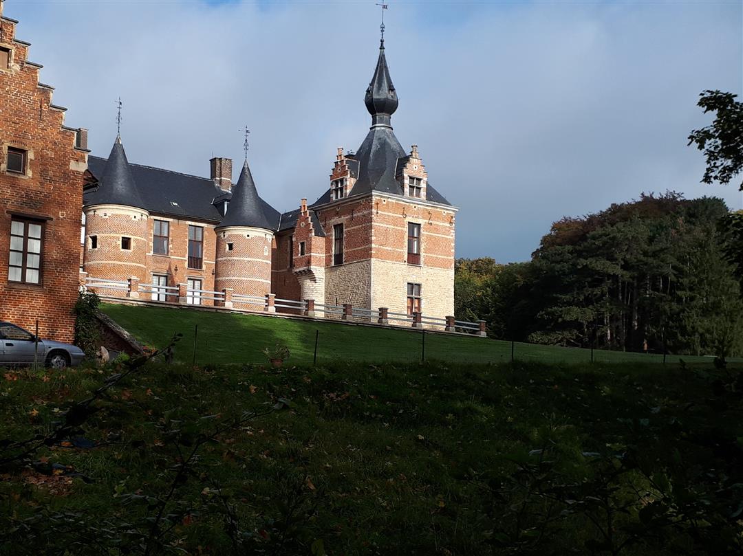
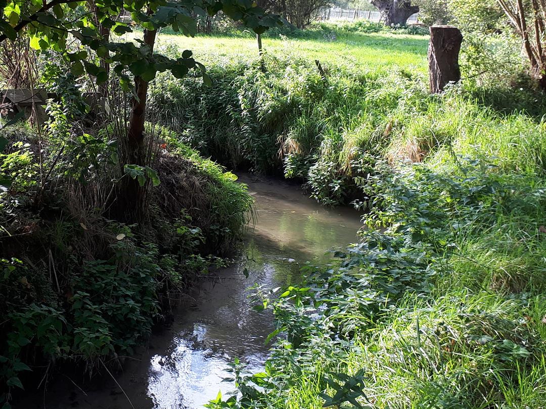
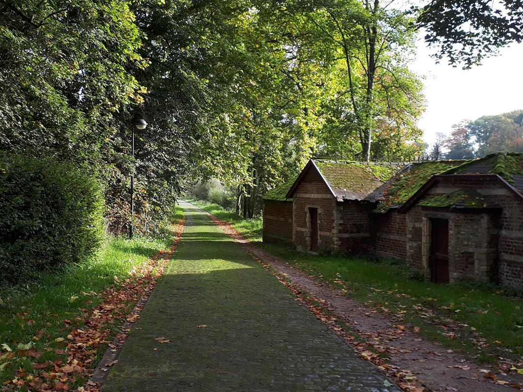
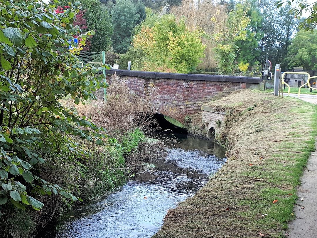
We start at the church of Leefdaal and take the Kasteeldreef to the Voer. We follow the Voer to the border with Tervuren and climb out of the valley to the Brabant shale plateau. The vistas give us a peaceful view of the busy world beyond (E40, approach route to Zaventem ...). Through the open field we slowly descend to the Voer. On the way we pass by the Sint-Verona chapel. Further on is the castle of Leefdaal, also called 'de Liedekerke': a renaissance castle, with late medieval remains.
This route was sent in by Marc Scheys.
automatic translation
 nodes to follow
0 km
1.2 km
1.2 km
2.2 km
2.5 km
3.6 km
3.7 km
4.3 km
4.7 km
6 km
6.9 km
7.7 km
8 km
9.8 km
10 km
Monday, October 5, 2020 by B.K.Views, waters, forest , valleys. Just beautiful. Very quiet roads.
automatic translation
Sunday, September 22, 2019 by N.L.Beautiful hike. Just unfortunate that you regularly walk in busier places and roadways. You also walk in places where there is a lot of bicycling.
automatic translation
Monday, July 23, 2018 by Frank Geensbeautiful hike, highly recommended
automatic translation
Sunday, May 13, 2018 by Rudy EngelsI have hiked so much in the area but still discovered some new sections again. Great hike!
automatic translation
Saturday, February 24, 2018 by J.V.Top hike!
automatic translation


 Upgrade to Premium Plus
