 Hiking
 Login
Login
 More
More
 EN
EN
 Premium
Around Newport harbor
automatic translation
11.9 km • Nieuwpoort
 official route
10.88512 4 4.1/5
route offered by
 Addresse starting point (approximate)
Leopoldplein 6, 8620 Nieuwpoort
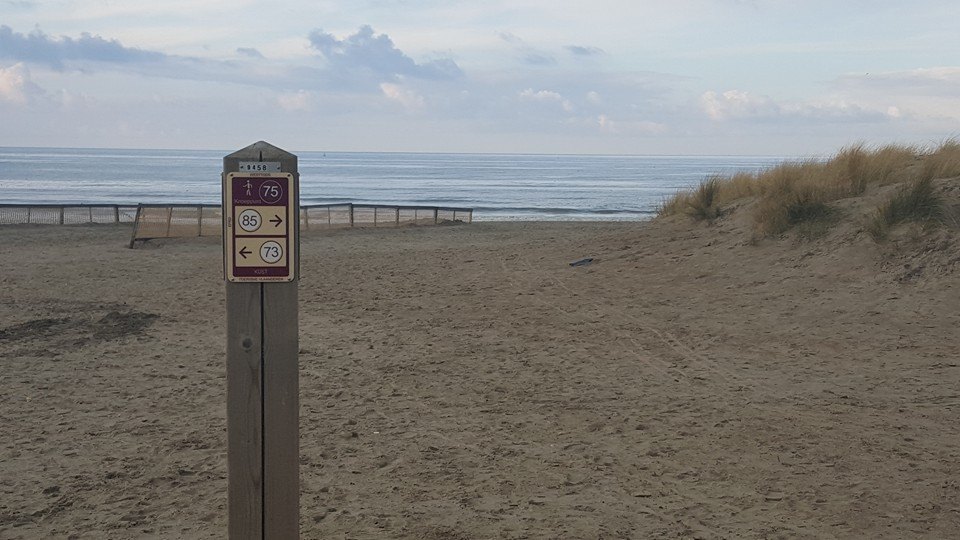
 signage
The route is fully signposted with nodes.
 Description
This hiking trail explores Nieuwpoort and its beautiful marina. You start at the Sint-Bernardus church in Nieuwpoort-Bad at junction 75. Via the beautiful villa quarter you walk to the marina along the Albert 1 monument.
You then walk via the Ijzermonding nature reserve, a nature reserve with many similarities to the Zwin, back to the Nieuwpoort dike. Please note, between node 6 and 85 you must use the free ferry that connects Nieuwpoort Bad to the nature reserve.
automatic translation
 nodes to follow
0 km
0.6 km
1.1 km
1.7 km
2 km
2.3 km
3.5 km
3.7 km
4.4 km
5.2 km
5.7 km
6.1 km
6.4 km
7 km
8.6 km
9.6 km
10.1 km
10.5 km
10.7 km
10.8 km
11 km
12 km
Wednesday, June 17, 2026 by R.R.It's a beautiful route, but be sure to check if the ferry is running! Currently, it only runs on Saturdays and Sundays during school vacations. Bring binoculars or a camera to watch the birds from the observation huts.
automatic translation
Wednesday, June 24, 2020 by H.L.The ferry referred to is by no means always running. Only during the summer does it run daily. Outside of that only on weekends and
holidays. It also does not sail at noon.
To avoid unpleasant surprises, it is advisable to check the website in advance. https://www.middelkerke.be/nl/veerboot-nieuwpoort
automatic translation
Tuesday, April 1, 2025 by Dirk LemaitreThis link is more recent: https://www.nieuwpoort.be/toegankelijkheid/veerdienst
automatic translation
Thursday, June 5, 2025 by C.W.05.06.25 website visited, is now https://www.middelkerke.be/nl/toerisme/zien-en-doen/veerboot-nieuwpoort
automatic translation
Thursday, November 28, 2019 by A.D.at node 86 (harbor) there is an arrow to node 89, but the first part of the trail is closed by the construction company. You can't go through there. You can turn back a little bit and take the street before the parking lot, but you need to know that.
regards
Anne
automatic translation
Tuesday, September 17, 2019 by N.B.beautiful walking route
automatic translation


 Upgrade to Premium Plus
