 Hiking
 Login
Login
 More
More
 EN
EN
 Premium
The Aschputs
automatic translation
3.8 km • Hoogstraten
2.1011 1 0.5/5
3.8 km
0.0 km
0.0 km
route offered by
Toerisme Provincie Antwerpen
 Addresse starting point (approximate)
Recreatiedomein De Mosten - Hoogeind 74b, 2321 Meer
 signage
The route is fully signposted with nodes.
© Toerisme Provincie Antwerpen
 Description
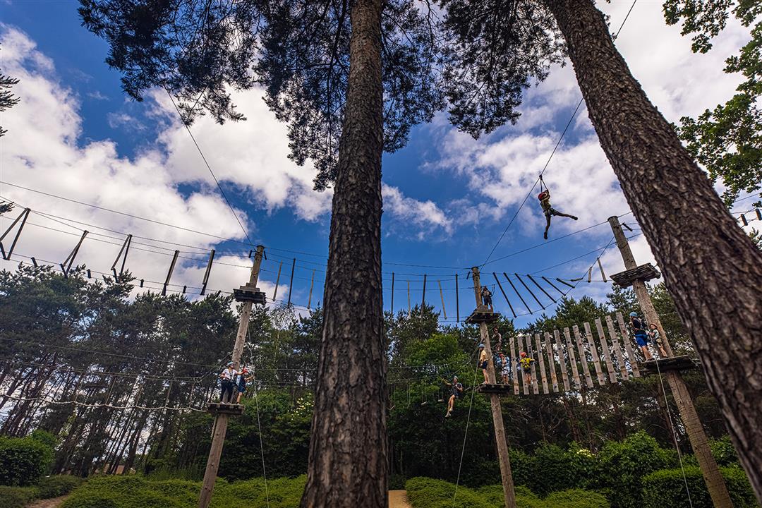
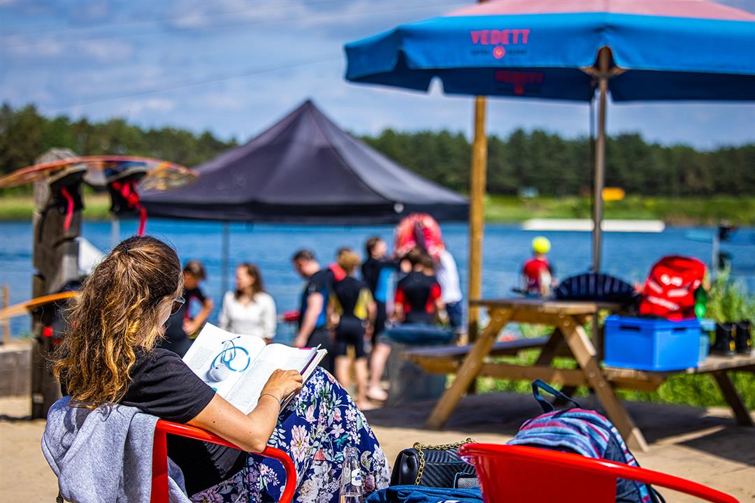
You can find the Aschputten in Meer, next to the Mark and near Recreation Domain De Mosten in Hoogstraten. The Aschputten consists of fairly dry to wet grasslands with small landscape elements, forest plots and pools. In combination with recreation domain De Mosten has everything for an ideal adventurous day out: swimming, climbing, wakeboarding, relaxing in the beach bar combined with a relaxing walk in the green surroundings.
automatic translation
 nodes to follow
0 km
0.6 km
1.1 km
1.2 km
1.8 km
2.2 km
2.2 km
2.2 km
3 km
3.1 km
3.9 km


 Upgrade to Premium Plus
