 Hiking
 Login
Login
 More
More
 EN
EN
 Premium
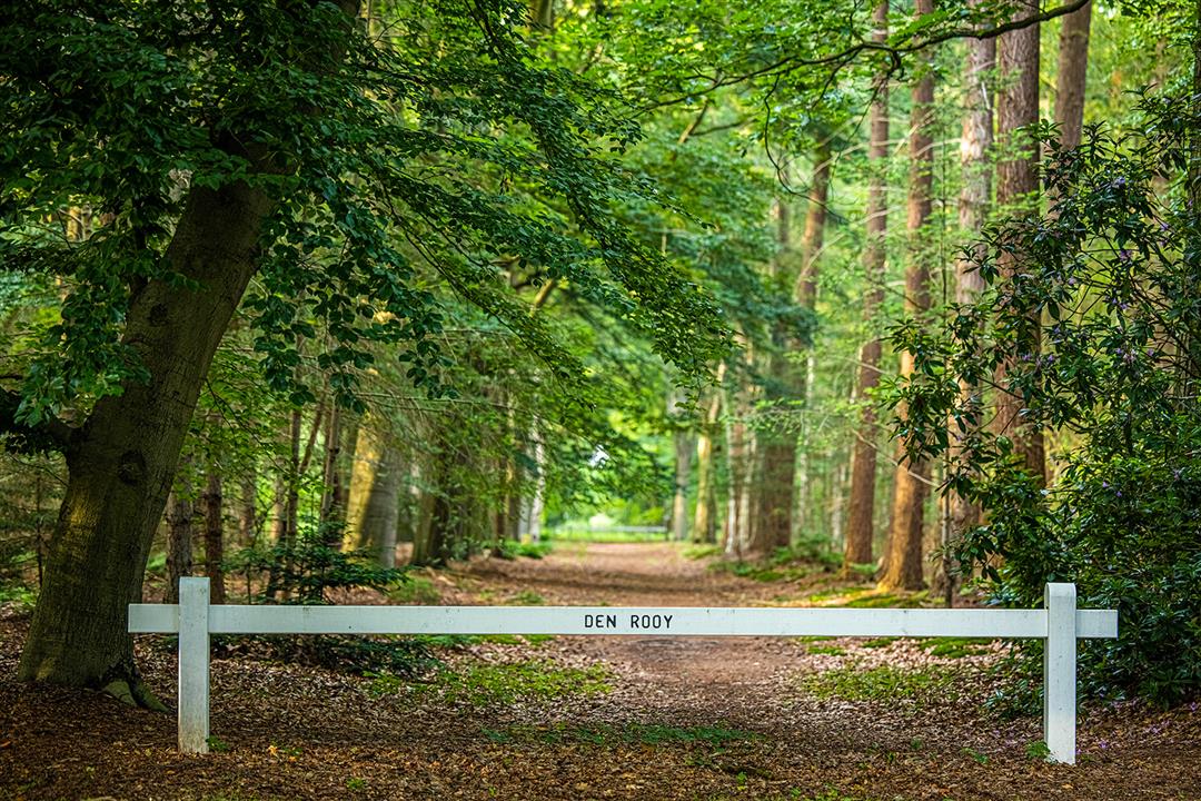
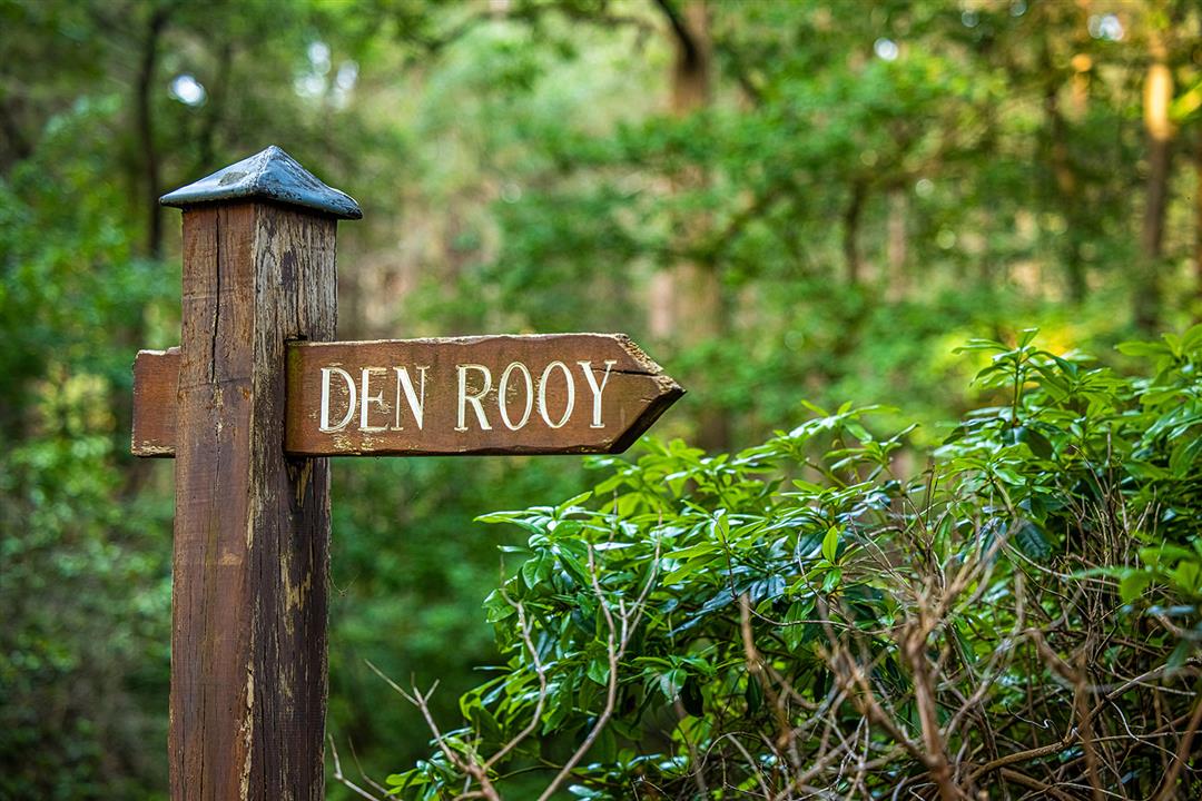
Den Rooy & Smisselbergen
automatic translation
8.1 km • Hoogstraten
2.9374 1 3.5/5
route offered by
Toerisme Provincie Antwerpen
 Addresse starting point (approximate)
Ulicotenseweg, 2328 Meerle
 signage
The route is fully signposted with nodes.
 Description
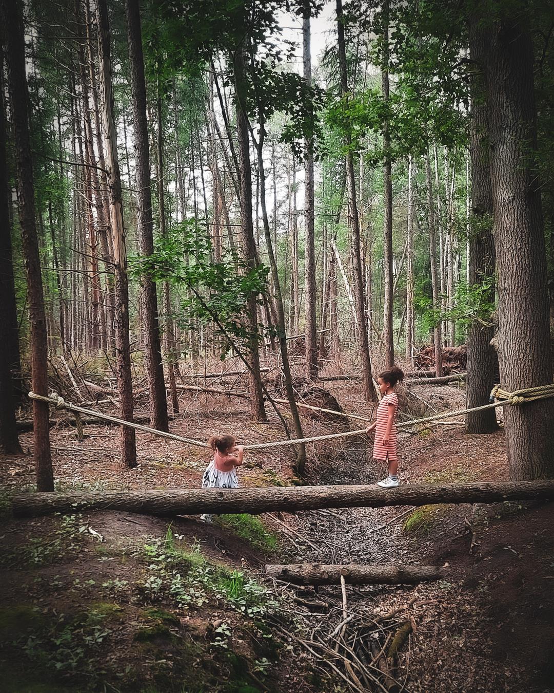
Den Rooy and Smisselbergen are two vast forest areas in Meerle where you will discover different biotopes and habitats. Running straight through the area is the Heerlese Loop. In the middle of Den Rooy there is also the special discovery route for children: The Kortebeentjespad.
The Kortebeentjespad is a mapped out walking route of 1.5 km in Nature Reserve Den Rooy in Meerle.
automatic translation
 nodes to follow
0 km
1.4 km
1.5 km
2.1 km
3 km
4.6 km
4.8 km
5.1 km
5.4 km
5.9 km
6.7 km
6.7 km
8.1 km
Sunday, March 5, 2023 by Karin van de VenA nice quiet walk with only bird concert in the background. First part through the forest, winding paths with bridges. Then a long paved road along the farms, a little less and last part again in the forest. Route is more than 5 km though; 8 km and half paved. In spring, when rhododendrons are in bloom, it will be beautiful.
automatic translation


 Upgrade to Premium Plus
