Loading...

Jan Huet path

automatic translation

15.8 km • Hoogstraten

Icon official route official route

15.8 km 0.0 km 0.0 km

route offered by

Badge of official route

more info

Icon starting point Addresse starting point (approximate)

Knooppunt 26 - Sint-Jan De Doperkerk , 2323 Wortel - dorp

Icon type signage of route signage

The route is fully signposted with nodes.

5m 5m 5m 5m
Atmosphere image 1 of route Jan Huet path
© Toerisme Provincie Antwerpen

Icon description route Description

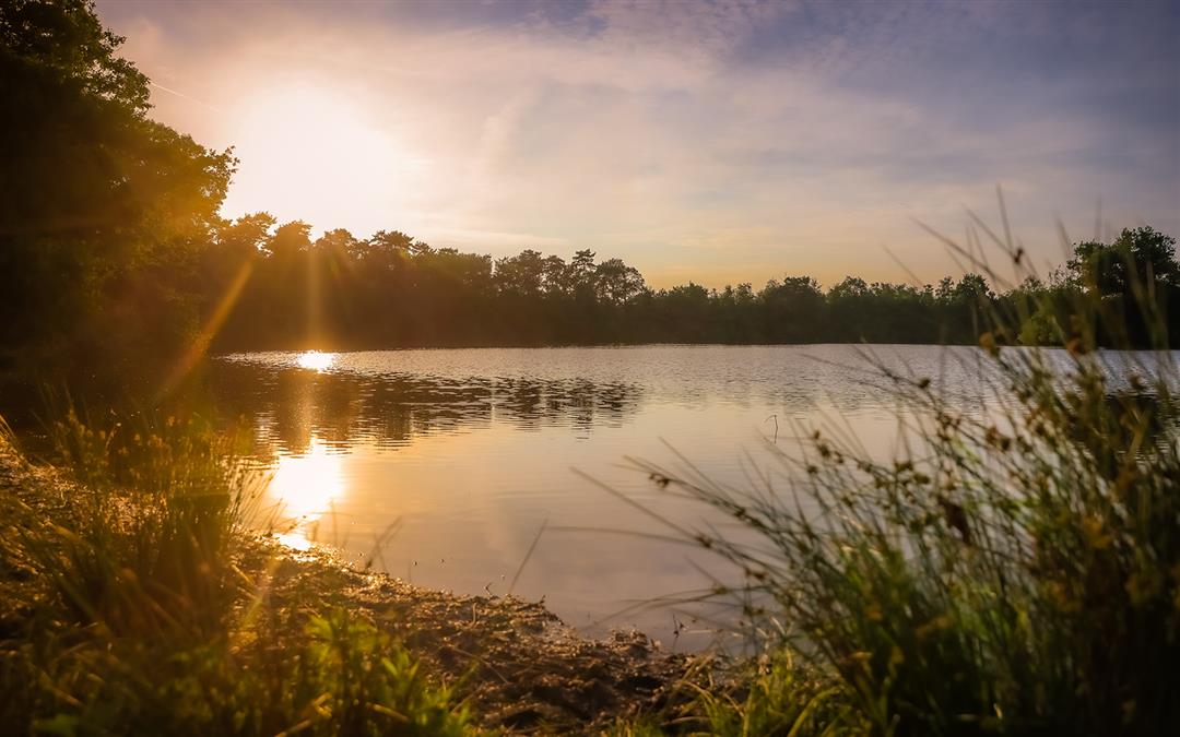
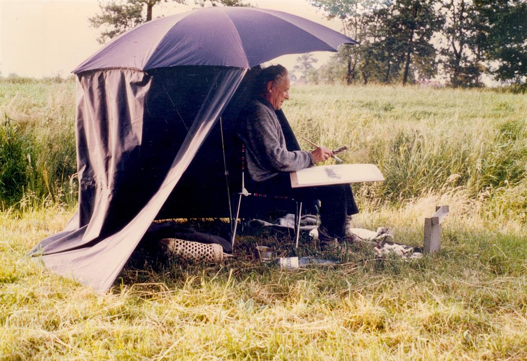
The Jan Huet trail lies partly in the Netherlands and Belgium. This border region with meadows, forests, patches of heathland, old dikes and fens with rare herbs, is a true paradise for small game, rare water birds and fish. Jan Huet, great friend of nature and painter, found his inspiration here for good reason. During the walk you pass Castel, Wortel-Kolonie (Unesco World Heritage Site), Baarle-Brug, de Kromme Hoek, Hal and 't Schoor and follow the tributary of De Mark which meanders here through the valley of 't Merkske.

automatic translation

Icon nodes to follow nodes to follow

Image node 26
0 km
Image node 29
1 km
Image node 9
1.8 km
Image node 8
1.9 km
Image node 10
2.3 km
Image node 88
2.6 km
Image node 2
2.9 km
Image node 3
3.3 km
Image node 4
3.6 km
Image node 5
3.8 km
Image node 57
4.4 km
Image node 58
4.9 km
Image node 77
5.2 km
Image node 78
5.6 km
Image node 15
6.9 km
Image node 57
8.1 km
Image node 56
8.4 km
Image node 96
9.2 km
Image node 95
9.6 km
Image node 94
10 km
Image node 72
10.6 km
Image node 71
10.7 km
Image node 73
11 km
Image node 74
11.7 km
Image node 76
12.3 km
Image node 6
12.5 km
Image node 7
13.5 km
Image node 7
13.6 km
Image node 30
14.5 km
Image node 28
14.9 km
Image node 29
15.1 km
Image node 26
16 km
This route has 1 review(s).
Rate route!

Thursday, December 21, 2023 by W.H.A beautiful route, sung and painted by Jan Huet (1903-1076) who grew up in the unique nature of what was then Root Colony.
automatic translation

Which POI do you want to show on the map?

Experimental hiking network
Unsigned icon

The route you have chosen runs (partly) along an experimental virtual hiking node network (the blue-coloured nodes and sections on the map).

You must be logged in to plan routes here.

Experimental hiking network
Unsigned icon

The route you have chosen runs (partly) along an experimental virtual hiking node network (the blue-coloured nodes and sections on the map).

These routes are not controlled in the field. Before you start hiking here, take a minute to read what an experimental hiking node network is and what rules you should follow when hiking here.