 Hiking
 Login
Login
 More
More
 EN
EN
 Premium
Flirting with the border in the Valley of the Merkske
automatic translation
9.4 km • Hoogstraten
5.3744 3 4.7/5
route offered by
Toerisme Provincie Antwerpen
 Addresse starting point (approximate)
Knooppunt 1 - Bezoekerscentrum De Klapekster - Kolonie 41, 2323 Wortel
 signage
The route is fully signposted with nodes.
 Description
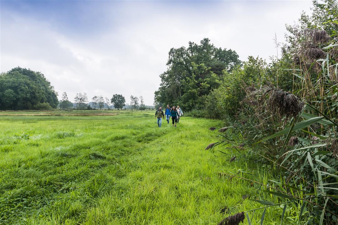
The valley of the Merkske - the natural border with the Netherlands - serves 1900 hectares of top nature. Through the stately lanes of Wortel-Kolonie (an official silence area and declared a Unesco World Heritage Site in 2021) you step into the fens of the Castelreesche Heide. Visitor Center De Klapekster forms a cozy finale. Not for nothing was this hike named Hike of the Year in 2019.
automatic translation
 nodes to follow
0 km
0.6 km
1 km
1.3 km
1.5 km
2.1 km
2.3 km
2.6 km
3.8 km
4.4 km
5.1 km
5.4 km
6.1 km
6.7 km
6.9 km
7 km
7.8 km
7.9 km
8.3 km
8.6 km
8.9 km
9.5 km
Sunday, September 15, 2024 by J.V.Very nice hike, in quiet areas with different landscapes. There is a lot of variety for such a relatively short route. Definitely highly recommended!
automatic translation
Friday, February 16, 2024 by J.J.Wonderful hike ! Rural views interspersed with narrow forest paths, this hike has it all. Also the marshy area around the Merkske is so surprisingly pure. Here the hiker comes to rest ! When it is persistently wet, the bridges on the river bank are not accessible, and it is best to take an alternative via the junctions. Recommended
automatic translation
Sunday, February 26, 2023 by bert rouckhoutvery nice walk quiet roads many views very flat and beautiful forests and small lakes
automatic translation


 Upgrade to Premium Plus
