Loading...

Saint Bernard trail

automatic translation

9.6 km • Baarle-Nassau

Icon official route official route

9.6 km 0.0 km 0.0 km

route offered by

Badge of official route

more info

Icon starting point Addresse starting point (approximate)

Knooppunt 84 - Habelaar 26, 2328 Meerle Hoogstraten

Icon type signage of route signage

The route is fully signposted with nodes.

5m 5m 5m 5m
Atmosphere image 1 of route Saint Bernard trail Atmosphere image 2 of route Saint Bernard trail
© Toerisme Provincie Antwerpen

Icon description route Description

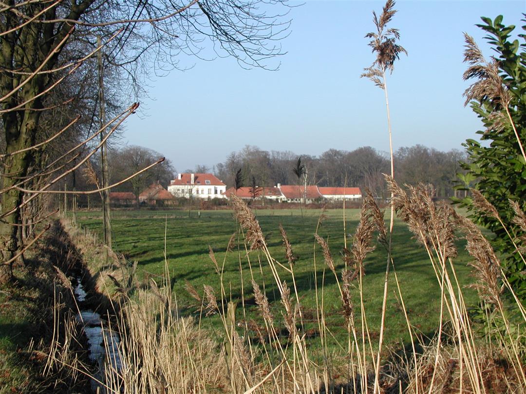
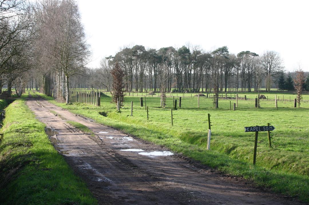
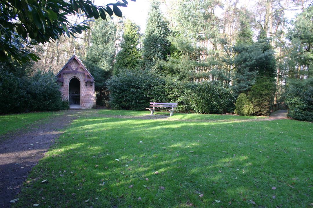
This beautiful and very varied hiking trail takes you to Ulicoten. This peaceful agricultural village, just across the border with Hoogstraten/Belgium, is part of Baarle-Nassau. Here you go in search of the St. Bernard Chapel. Literally in search because the chapel is hidden in a forest, in a very small part of Belgium that can only be reached from the Netherlands. Hoogstraten, as Belgium's northernmost municipality is completely surrounded by the Belgian-Dutch border. Come discover this special location and the story behind it.

automatic translation

Icon nodes to follow nodes to follow

Image node 84
0 km
Image node 25
0.7 km
Image node 23
1.2 km
Image node 20
1.3 km
Image node 24
1.8 km
Image node 51
2.3 km
Image node 68
3.7 km
Image node 67
4.4 km
Image node 58
5 km
Image node 63
5.8 km
Image node 63
5.8 km
Image node 64
6 km
Image node 64
6 km
Image node 56
7.1 km
Image node 24
7.7 km
Image node 20
8.2 km
Image node 23
8.2 km
Image node 25
8.8 km
Image node 84
9.5 km
This route has 1 review(s).
Rate route!

Wednesday, August 16, 2023 by bert rouckhoutnice walk but missing arrowsq and monotonous in the long run
automatic translation

Which POI do you want to show on the map?

Experimental hiking network
Unsigned icon

The route you have chosen runs (partly) along an experimental virtual hiking node network (the blue-coloured nodes and sections on the map).

You must be logged in to plan routes here.

Experimental hiking network
Unsigned icon

The route you have chosen runs (partly) along an experimental virtual hiking node network (the blue-coloured nodes and sections on the map).

These routes are not controlled in the field. Before you start hiking here, take a minute to read what an experimental hiking node network is and what rules you should follow when hiking here.