 Hiking
 Login
Login
 More
More
 EN
EN
 Premium
Walk to Achtel
automatic translation
13.6 km • Hoogstraten
1.8441 0 0/5
13.6 km
0.0 km
0.0 km
route offered by
Toerisme Provincie Antwerpen
 Addresse starting point (approximate)
Wandelknooppunt 86 - Centrum Hoogstraten - Vrijheid 149, 2323 Hoogstraten
 signage
The route is fully signposted with nodes.
© Toerisme Provincie Antwerpen
 Description
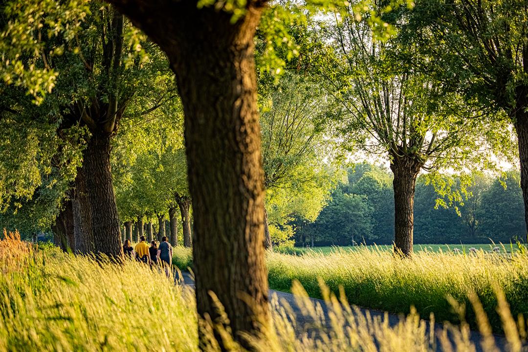
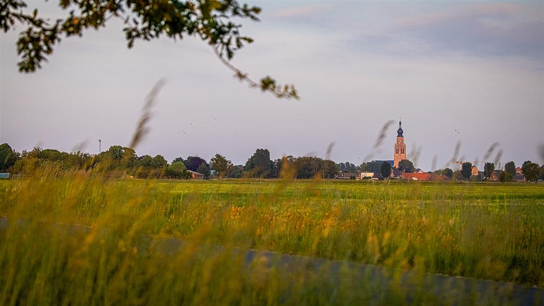
From the center of Hoogstraten you walk to Achtel, the hamlet in neighboring village Rijkevorsel. This walk takes you past meadows and fields and has Achtel's chapel as its focal point. You get to know Louis Doms' world-famous Kadril, Heilluizers and the St. Ambrose Guild. From the bustling center of Hoogstraten you dive into the green backyard of Hoogstraten and the hamlet of Achtel (Rijkevorsel).
automatic translation
 nodes to follow
0 km
0.4 km
1.4 km
1.7 km
3.2 km
3.4 km
3.7 km
5.1 km
6.5 km
8.3 km
8.6 km
9.9 km
10.4 km
12.3 km
13 km
13.5 km
13.8 km


 Upgrade to Premium Plus
