 Hiking
 Login
Login
 More
More
 EN
EN
 Premium
Maxburgpad
automatic translation
13.2 km • Hoogstraten
2.4231 3 1.2/5
route offered by
Toerisme Provincie Antwerpen
 Addresse starting point (approximate)
Maxburgdreef (ter hoogte van KNP 32), 2328 Meer
 signage
The route is fully signposted with nodes.
 Description
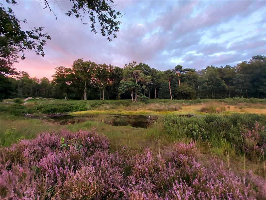
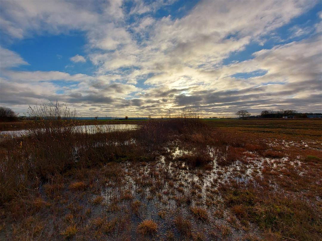
The Maxburg trail takes you past two castles and nature reserve "De Gooren en Krochten" where the Goorloop forms the natural border between Belgium and the Netherlands. Walking along fens and shifting sand ridges you will discover that this is anything but a monotonous area.
This castle is named after its builder Max Van den Berghe, a gin distiller from Antwerp. The building has four salons, 11 bedrooms, a park with a pond and three large gates. The accompanying chapel has four stained glass windows by art and glass painter Jan Huet. At one time there was a school and a brickyard with sixty employees at Maxburg. Restoration of the castle was completed in 1998. Until 2010, Maxburg Castle was a luxury B&B. Now it is purely private. The Maxburgpad and Maxburgdreef owe their names to this castle.
This elongated nature reserve consists of three marshy
landscapes: Waaijenberg, Lange Gooren and the Krochten. They are interspersed with higher, drier areas, coniferous and deciduous forest, open heathland and various streams. The variation of high and low parts, open and wooded areas ensures that the nature reserve has a unique collection of plants and trees. Some of these are even very rare and special.
automatic translation
 nodes to follow
0 km
1.2 km
3.8 km
3.8 km
5.3 km
5.9 km
6.3 km
6.7 km
7.5 km
8.6 km
10.8 km
11.6 km
12.7 km
13.1 km
Monday, July 14, 2025 by L.D.To get from KP 33 to KP 36, you need to turn left onto a dirt trail, but it is not marked. The area lends itself more to cyclists than hikers. Long straight stretches of asphalt, few unpaved trails. From KP 27, a long stretch along a busy lane.
automatic translation
Thursday, June 27, 2024 by F.F.I know this route.she is however much more beautiful if extended over dutch territory to or even over a or weerijs,can then have a few more stars
automatic translation
Sunday, May 21, 2023 by M.V.Too many straight stretches on asphalt. A limited view of heathland but the nodes do not go through this area. More a route for cyclists instead of walkers.
automatic translation


 Upgrade to Premium Plus
