Loading...

From the Faluintjes to the Kravaal forest hiking trail

automatic translation

21.6 km • Aalst

Icon official route official route

21.6 km 0.0 km 0.0 km

route offered by

Badge of official route

more info

Icon starting point Addresse starting point (approximate)

Abrahamsweg, 9310 Aalst

Icon type signage of route signage

The route is fully signposted with nodes.

5m 5m 5m 5m
© Toerisme Oost-Vlaanderen

Icon description route Description

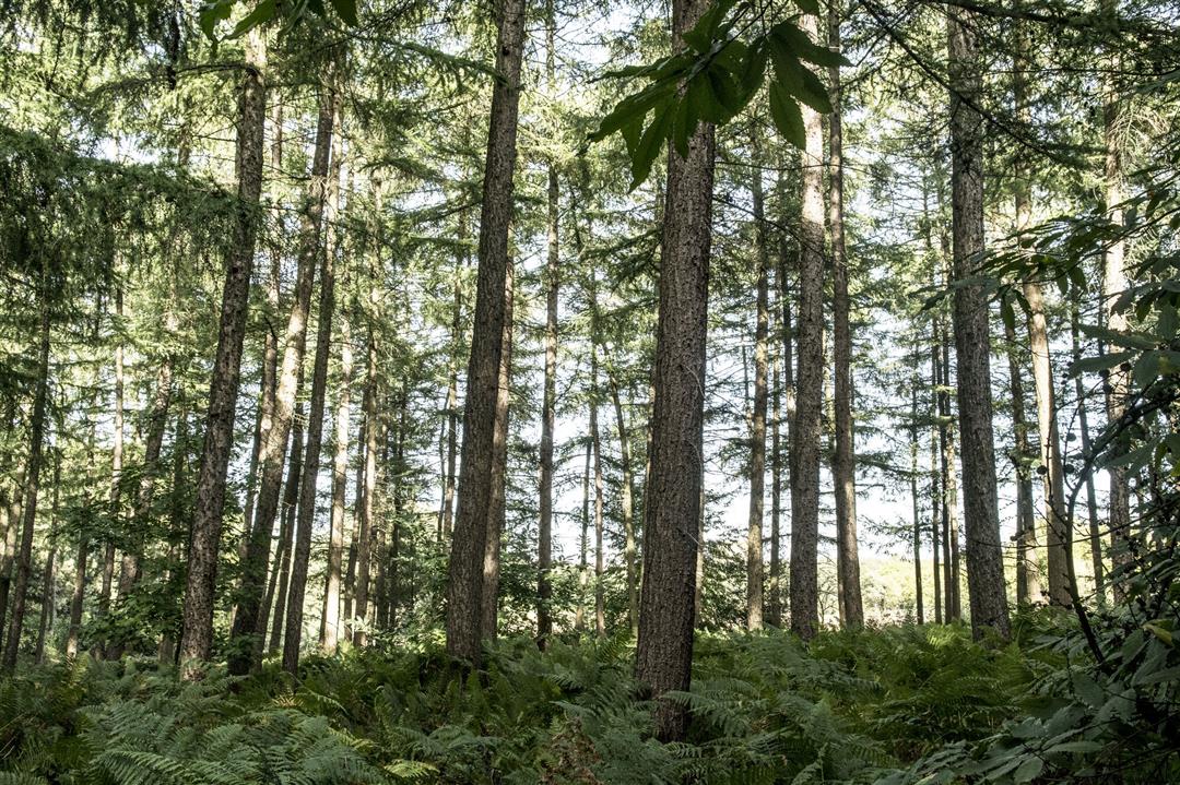
Just a stone's throw from Aalst, dive into the Faluintjes for a day trip past hop fields, a romantic water castle, Affligem Abbey and cool cafes to rest your legs along the way. In the Kravaal forest, the wood hyacinths provide a colorful spectacle in spring.

The Van de Faluintjes naar het Kravaalbos hiking trail is offered to you by Routen, an initiative of Tourism East Flanders.

automatic translation

Icon nodes to follow nodes to follow

Image node 20
0 km
Image node 25
1 km
Image node 26
1.4 km
Image node 27
2.8 km
Image node 17
3 km
Image node 16
3.7 km
Image node 28
4.1 km
Image node 29
4.4 km
Image node 36
6.4 km
Image node 37
6.8 km
Image node 38
7.8 km
Image node 41
8.4 km
Image node 40
8.6 km
Image node 51
10.2 km
Image node 50
10.5 km
Image node 72
10.9 km
Image node 71
11.2 km
Image node 49
11.5 km
Image node 48
12 km
Image node 98
12.2 km
Image node 47
12.4 km
Image node 25
13.5 km
Image node 46
14.6 km
Image node 45
14.9 km
Image node 42
15.9 km
Image node 14
16.3 km
Image node 13
16.6 km
Image node 1
16.9 km
Image node 1
16.9 km
Image node 18
17.8 km
Image node 10
18.4 km
Image node 4
19.2 km
Image node 6
20.1 km
Image node 7
20.4 km
Image node 20
21.7 km
This route does not have any reviews yet. Be the first!
Rate route!

Which POI do you want to show on the map?

Experimental hiking network
Unsigned icon

The route you have chosen runs (partly) along an experimental virtual hiking node network (the blue-coloured nodes and sections on the map).

You must be logged in to plan routes here.

Experimental hiking network
Unsigned icon

The route you have chosen runs (partly) along an experimental virtual hiking node network (the blue-coloured nodes and sections on the map).

These routes are not controlled in the field. Before you start hiking here, take a minute to read what an experimental hiking node network is and what rules you should follow when hiking here.