 Hiking
 Login
Login
 More
More
 EN
EN
 Premium
Capuchin Path
automatic translation
11.4 km • Hoogstraten
2.7103 0 0/5
route offered by
Toerisme Provincie Antwerpen
 Addresse starting point (approximate)
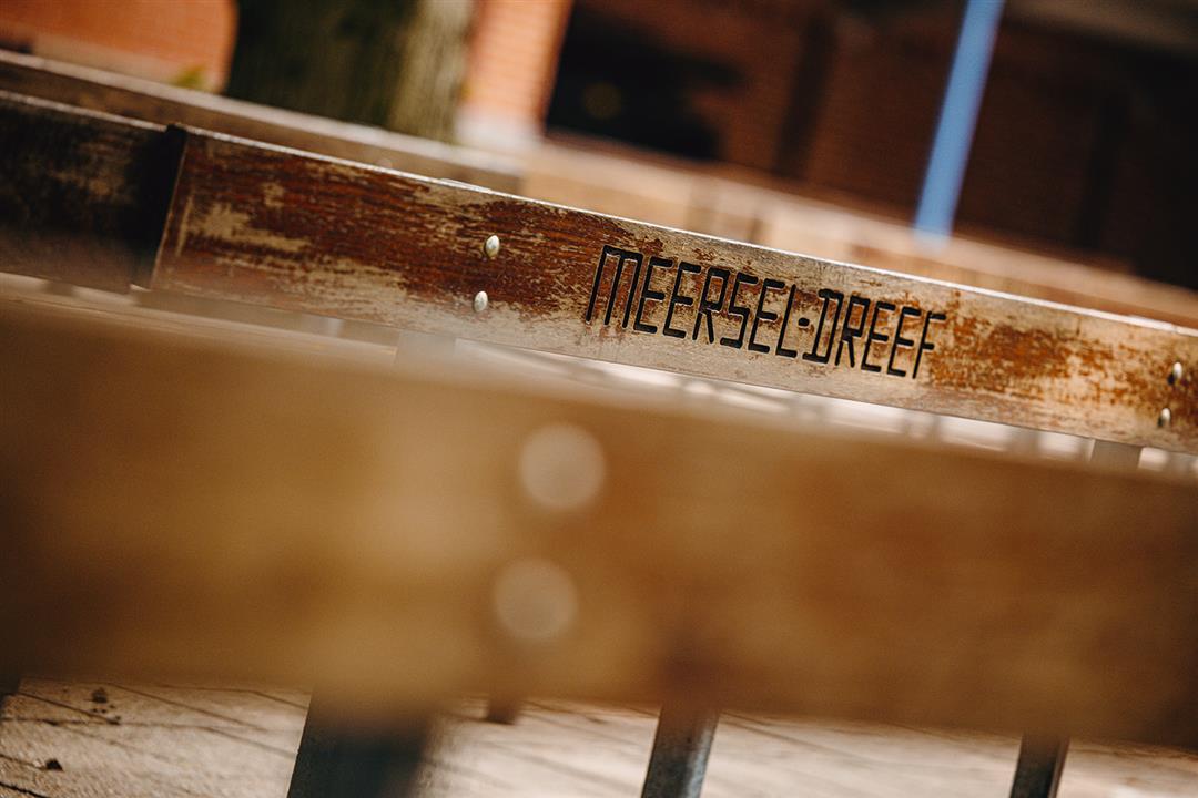
Kapucijnenklooster Meersel-Dreef, (Wandelknooppunt 34) Dreef 38, 2328 Meersel-Dreef
 signage
The route is fully signposted with nodes.
 Description
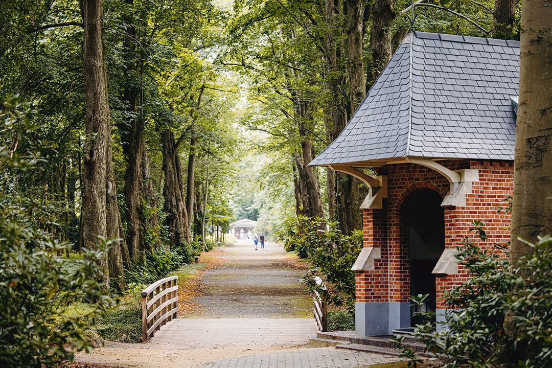
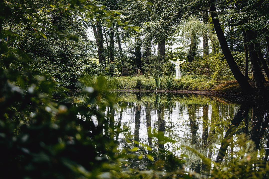
Even though Meersel-Dreef is the smallest village in Hoogstraten, it is a strong tourist attraction. The farmers, artisans and clergy who led a simple life here have left numerous interesting traces throughout the centuries. On the walk you pass by the Capuchin Monastery, the Maria Park and the Meersel Mill. Of course, you also cross the border and discover why our northern neighbors are actually not that much different from us. Meersel-Dreef has been an important and popular place of pilgrimage since time immemorial.
automatic translation
 nodes to follow
0 km
0.2 km
1 km
1.7 km
2.3 km
2.8 km
3.1 km
3.5 km
4.7 km
6.3 km
6.7 km
8.1 km
9 km
9.3 km
9.6 km
9.8 km
10.6 km
11.3 km
11.6 km


 Upgrade to Premium Plus
