 Hiking
 Login
Login
 More
More
 EN
EN
 Premium
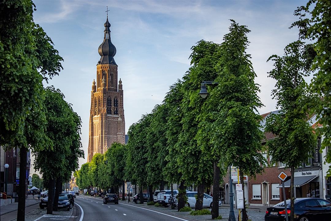
City Walk Hoogstraten
automatic translation
4.8 km • Hoogstraten
1.5951 1 5/5
route offered by
Toerisme Provincie Antwerpen
 Addresse starting point (approximate)
Sint-Katharinakerk, Vrijheid 151, 2320 Hoogstraten
 signage
The route is fully signposted with nodes.

 Description
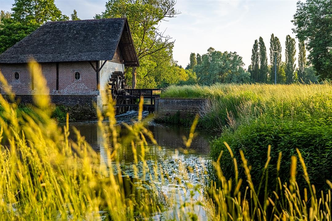
The city walk starts in the center at St. Catherine's Church. You pass by the historic town hall and the Beguinage (Unesco World Heritage Site!). But you also get a taste of Hoogstraten's green hinterland via slow roads. You see windmills, a castle and centuries-old chapels. You walk past gems of facades with names like De Draeck, Het Gulden Vlies and Artis Amore. These historic buildings have their origins in the sixteenth century, also called the golden age in the history of Hoogstraten.
automatic translation
 nodes to follow
0 km
0.3 km
0.4 km
1.5 km
2.2 km
2.7 km
3.2 km
3.8 km
4.4 km
4.8 km


 Upgrade to Premium Plus
