 Hiking
 Login
Login
 More
More
 EN
EN
 Premium
Along the Langven to Veerle-Heide
automatic translation
5.6 km • Scherpenheuvel-Zichem
5.1135 1 3/5
route offered by
Toerisme Provincie Antwerpen
 Addresse starting point (approximate)
Wandelknooppunt 279. Afspanning Den Eik, Hoeve Den Eik 1, 2431 Veerle, Laakdal.
 signage
The route is fully signposted with nodes.
 Description
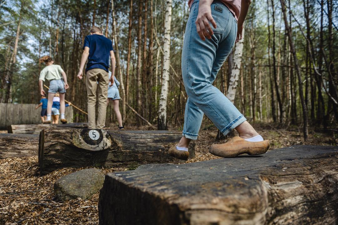
The Langven is one of the first and largest fens restored in Averbode Bos & Heide. Put on your walking shoes to explore this spot in the beautiful Averbode Bos & Heide nature reserve. Afterwards you can enjoy local delicacies on the terrace of Afspanning Den Eik and visit the Klompenmuseum. Haven't finished hiking yet? Then discover how it feels to walk in clogs on the Klompenbelevingspad.
automatic translation
 nodes to follow
0 km
0.3 km
0.7 km
1.4 km
1.7 km
2.1 km
2.3 km
3 km
3.4 km
3.9 km
4.4 km
5 km
5.7 km
Sunday, February 19, 2023 by Karin van de VenStart walk at Brasserie Hoeve den Eik, Grensstraat 45. First part is promising, along fens, moors and narrow forest paths. Then fairly quickly between the houses on the hard road, through the village. Last part through the woods with a view of the abbey. Fortunately not 83 km but 6 km. Today gray sky and trees bare, perhaps more beautiful in summer.
automatic translation


 Upgrade to Premium Plus
