 Hiking
 Login
Login
 More
More
 EN
EN
 Premium
Putteke van 't Huttekepad
automatic translation
9 km • Geel
4.3351 3 3/5
route offered by
Toerisme Provincie Antwerpen
 Addresse starting point (approximate)
Knooppunt 368, Sint-Laurentiuskerk, Zammelseweg en Parking Oosterloseweg 196, 92, 2440 Geel
 signage
The route is fully signposted with nodes.
 Description
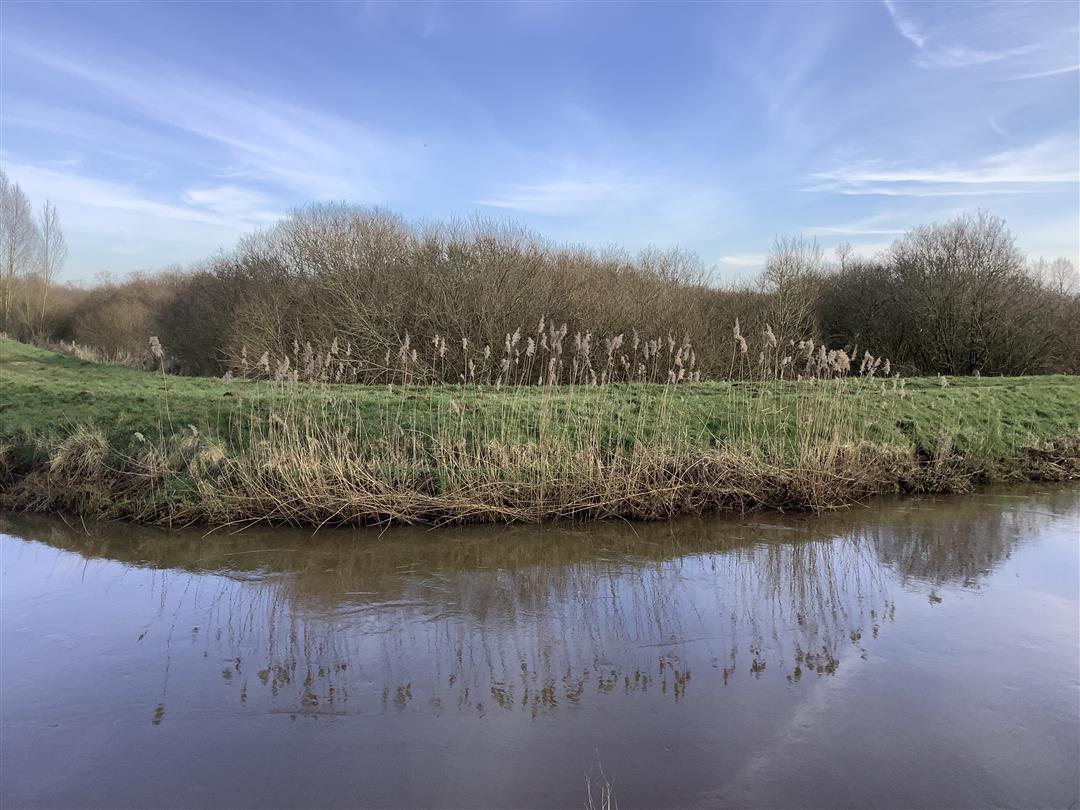
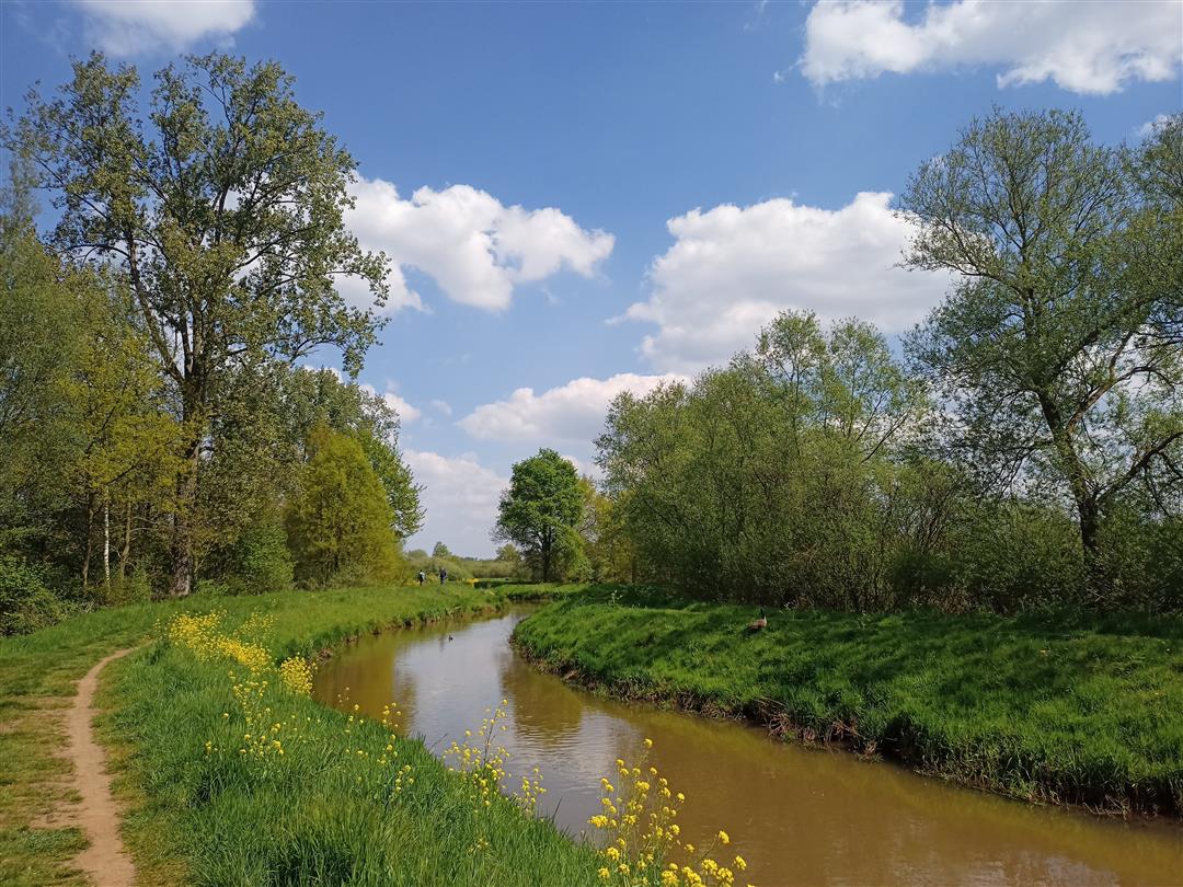
In this quiet, wide valley of the Great Nete you will find a wide variety of biotopes. A dry sand dune, known as the Kalvarieberg, lies next to a lot of wetlands: ponds and marshes. This not only makes it an attractive area for birds such as bluebirds, kingfishers and ducks of course. Or the tawny owl and sparrowhawk on the higher Kalvarieberg. But also ... For hikers! Put on your sturdy walking shoes (or boots in wet periods) and go exploring. Along the way, stop at the St. Dimpna Chapel and
automatic translation
 nodes to follow
0 km
1.3 km
2.1 km
2.5 km
2.7 km
4.2 km
5.5 km
6.8 km
7.8 km
9.1 km
Monday, December 1, 2025 by K.D.Beautiful route, and at this time still passable. Note, however, that due to sigma works, it is still closed between 52 and 53. More correctly, between 52 and 181. So you should foresee adjustments until the end of the works.
automatic translation
Saturday, January 27, 2024 by C.S.This route is no longer walkable. From node 55 to 182 the water was up to halfway the calves, and also from 52 to 53 it looked like I was walking in the Nete :-) Since I was wearing boots, I did brave the water. Moreover, the pole with node 53 had disappeared. For the rest, nice walk.
automatic translation
Wednesday, August 16, 2023 by bert rouckhoutnice walk lots of nature
automatic translation


 Upgrade to Premium Plus
