 Hiking
 Login
Login
 More
More
 EN
EN
 Premium
From 't Goor to Hof ter Borght
automatic translation
8.7 km • Hulshout
5.1946 1 2/5
route offered by
Toerisme Provincie Antwerpen
 Addresse starting point (approximate)
Sint-Michielskerk, Netestraat (nabij knooppunt 334) 6, 2235 Westmeerbeek
 signage
The route is fully signposted with nodes.
 Description
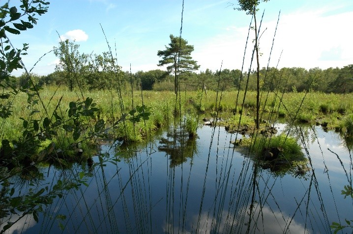
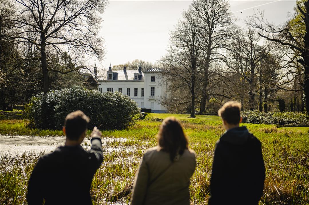
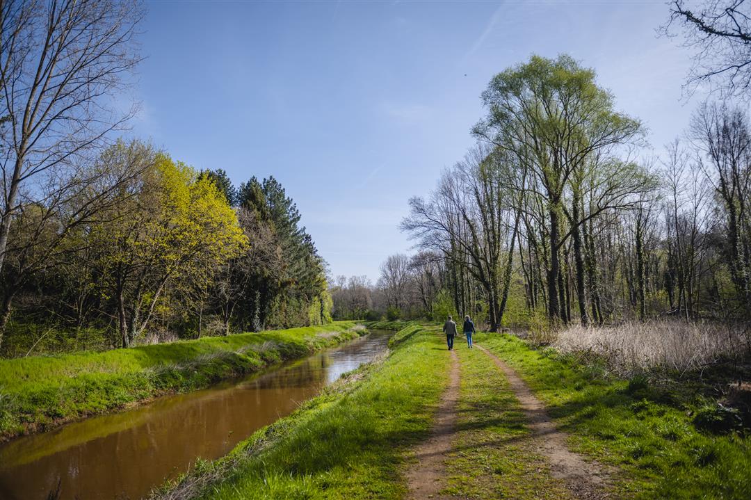
This hike combines the tranquility of nature with the charms of a castle (park). You walk through nature reserve Goor-Asbroek. In the Asbroek you will find a mix of grasslands, dry heaths and trouser forests. The Goor consists of marshes and wet heath. Because of the calcareous bubbling water, the wealth of plants and animals here is unique. Further on you come to Hof ter Borght, a classicist castle with a large domain bordering the Grote Nete. The park is already publicly accessible, including via a boardwalk from the Netedijk. Via the Grote Nete you walk back to your starting point.
automatic translation
 nodes to follow
0 km
1 km
1.3 km
2.1 km
2.1 km
2.4 km
3.3 km
3.9 km
4.9 km
5.7 km
6.1 km
7.1 km
8.2 km
8.6 km
8.8 km


 Upgrade to Premium Plus
