 Hiking
 Login
Login
 More
More
 EN
EN
 Premium
Explore Endwood Mountain
automatic translation
8.7 km • Laakdal
6.0987 3 4.8/5
route offered by
Toerisme Provincie Antwerpen
 Addresse starting point (approximate)
Wandelknooppunt 161. Vlakbij Smallestraat 4, 2430 Laakdal
 signage
The route is fully signposted with nodes.

 Description
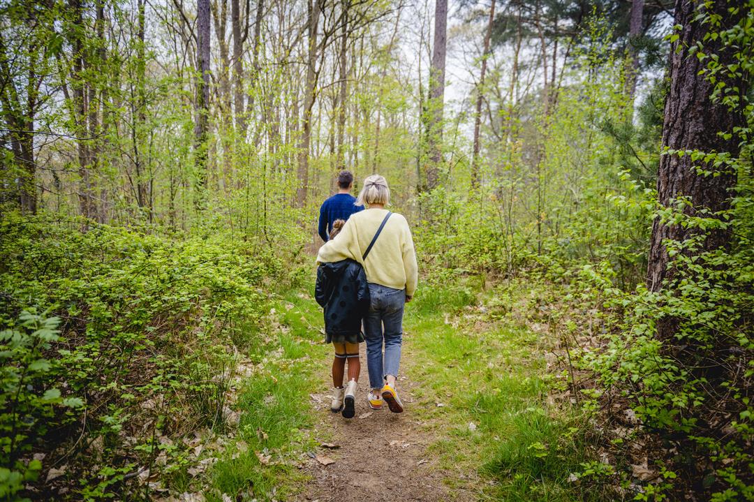
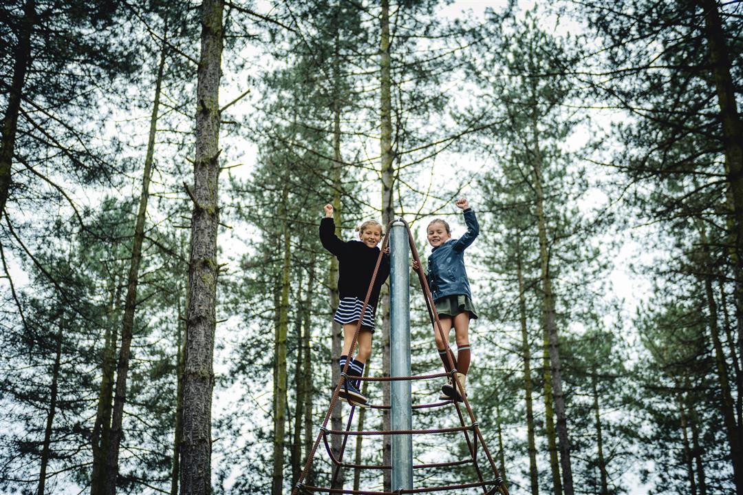
Explore the varied forest area of Eindhoutberg and its surroundings. Enjoy not only the forests, but also wetlands along the Kleine Laak (node 329 - 328), after which Laakdal municipality is named, and the Ossebroeken (node 173 - 329). The youngest hikers can have fun afterwards at Playground Dennenoord. Those who prefer to enjoy a nice cup of coffee, with delicious pastries or lunch, can visit the nearby restaurant Kasteel Kaneel (node 164).
automatic translation
 nodes to follow
0 km
0.6 km
2.3 km
2.4 km
2.8 km
3.7 km
3.9 km
5.2 km
5.8 km
6.1 km
7.6 km
8.7 km
Friday, December 12, 2025 by David Brockenvery fine walk, today 12/12/25...
automatic translation
Sunday, March 30, 2025 by S.G.Nice hike, the few bits of asphalt were quiet lanes, very regular bench with dirt bin. Sometimes the noise of the freeway, a few times crossing a big lane (straight) and merging with a mountain bike trail are the minor minuses.
automatic translation
Monday, March 27, 2023 by V.R.Very nice hike we did today, just a pity that the river Laak overflowed in 2 places and we were forced to make a detour so our hike became about 4 km longer. I would recommend this hike after a dry period.
automatic translation


 Upgrade to Premium Plus
