 Hiking
 Login
Login
 More
More
 EN
EN
 Premium
Battle Pond Creek Walk
automatic translation
9.2 km • Lennik
 official route
4.6615 2 4/5
route offered by
 Addresse starting point (approximate)
Arconateplein, 1750 Gaasbeek
 signage
The route is fully signposted with nodes.
 Description
This hike starts at the Arconateplein in Gaasbeek, perhaps one of the most beautiful village squares in the country. You walk along rural roads to the beautiful market square in Sint-Kwintens-Lennik where Prins, the pride of Brabant stands proudly. Ideal to take a break here and quench your thirst.
Along the way, you'll pass a nice resting spot from which you have a beautiful view of the castle and its surroundings.
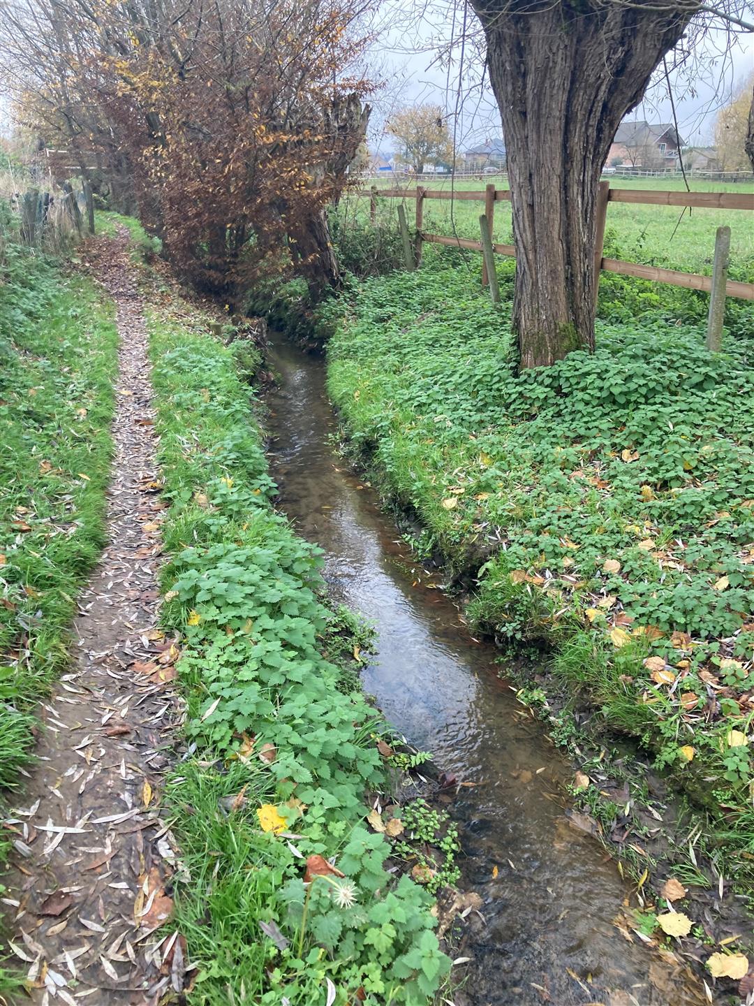
Past the center of Sint-Kwintens-Lennik you dive back into nature. You walk through the beautiful valley of the Slagvijverbeek, a winding footpath along the babbling brook, back to your starting point.
You can also start this hike on the market of Lennik (junction 1) where there is also ample parking.
automatic translation
 nodes to follow
0 km
0.3 km
1 km
1.4 km
2 km
2.1 km
2.4 km
3.3 km
3.3 km
4.3 km
4.6 km
5.1 km
5.1 km
5.9 km
6.2 km
6.9 km
7.2 km
7.5 km
8.3 km
9.3 km


 Upgrade to Premium Plus
