 Hiking
 Login
Login
 More
More
 EN
EN
 Premium
Green Gaasbeek walk
automatic translation
8.5 km • Lennik
 official route
3.8162 2 4/5
route offered by
 Addresse starting point (approximate)
Kasteelstraat 20, 1750 Gaasbeek
 signage
The route is fully signposted with nodes.
 Description
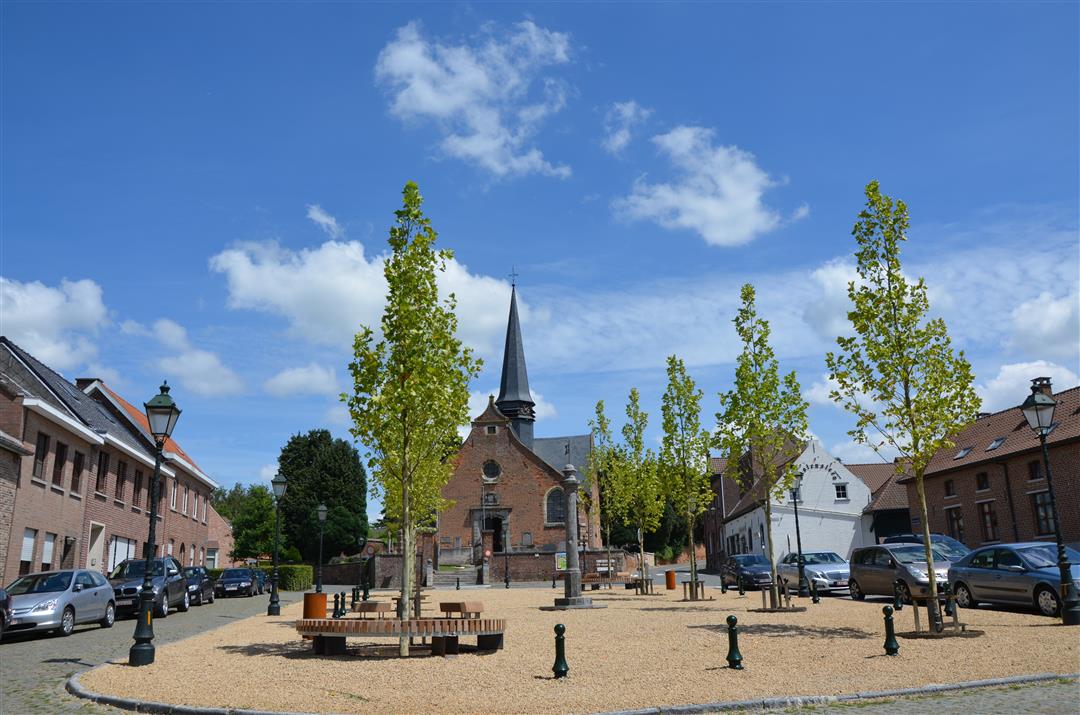
This walk starts near Gaasbeek Castle Park, near the large parking lot. You leave in the shadow of the Groenenberg park to the authentic village square of Sint-Martens-Lennik. Around the Sint-Martinus church you will find 2 typical village pubs where you can still taste the local beers such as gueuze and kriek.
Through the valley of the Slagvijverbeek you walk back to the Arconateplein in Gaasbeek, probably one of the most beautiful village squares in the country.
This walk can be extended with a loop through Groenenberg park and/or a loop through the beautiful castle park of Gaasbeek. (Each loop is approx. 1 km extra)
If you want to start via Groenenberg park, you walk from node 121 via 126 >730>129 to 122.
If you want to walk through the beautiful castle park at the end, you continue at node 111 towards 124 and 126 and back to starting point 121.
automatic translation
 nodes to follow
0 km
0.5 km
0.8 km
2.1 km
2.8 km
3.2 km
3.8 km
4 km
4.3 km
5.1 km
5.3 km
5.6 km
6.4 km
7.4 km
8 km
8.8 km
Friday, September 19, 2025 by J.H.Junction 119 (4.8km) is actually node 146.
automatic translation
Saturday, August 9, 2025 by M.V.Nice hike for a not too warm day after a dry spell. There is one downside though: there is one number missing from the route to follow, 146 between node 120 and 119. So it was a bit of a search there.
automatic translation


 Upgrade to Premium Plus
