 Hiking
 Login
Login
 More
More
 EN
EN
 Premium
From the Lembeek woods to Oosteeklo hiking trail
automatic translation
18.3 km • Kaprijke
 official route
3.4068 3 3.5/5
 Addresse starting point (approximate)
Tragelstraat 10, 9971 Kaprijke
 signage
The route is fully signposted with nodes.
 Description
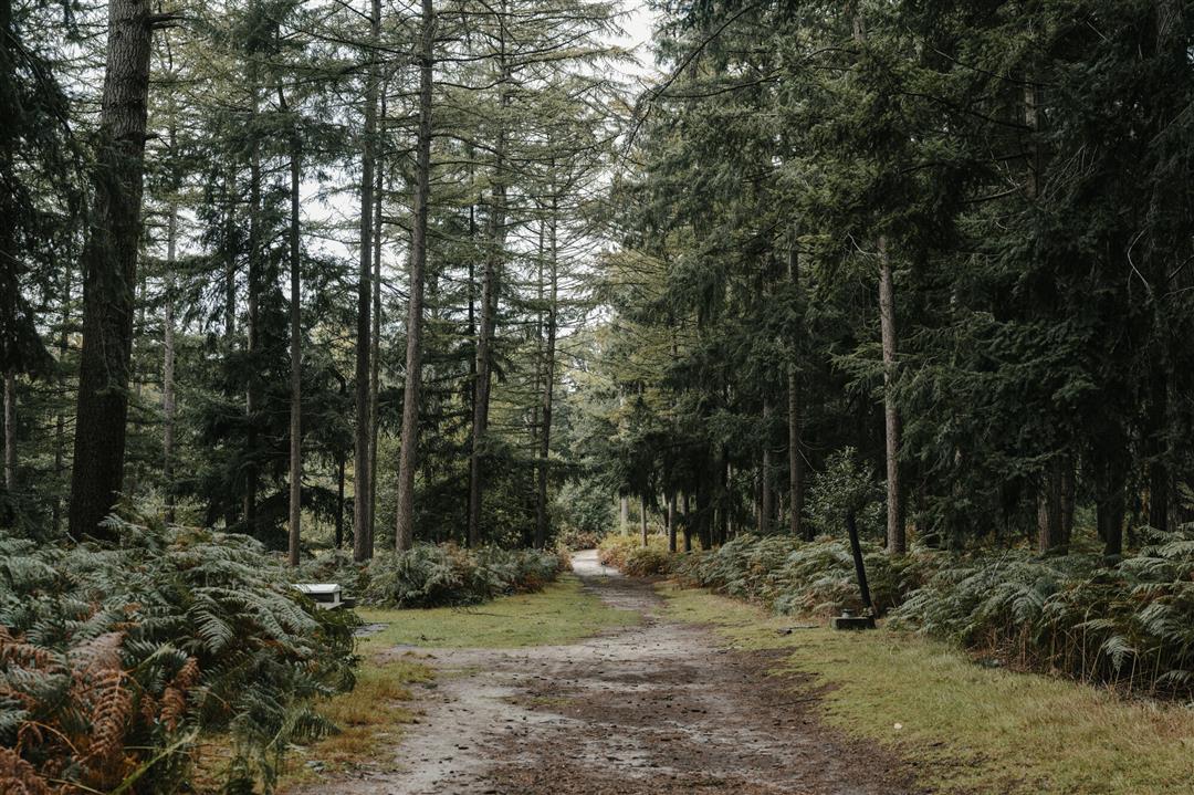
This hike is one for those who love forests, because you cross no less than three of them: the Lembeekse bossen, the Kwadebossen and the Oosteeklose bossen. You start and finish at the Heihoek, where five catering establishments welcome you with open arms.
The Van de Lembeekse bossen naar Oosteeklo walking route is offered to you by Routen, an initiative of Tourism East Flanders.
automatic translation
 nodes to follow
0 km
0.7 km
1.3 km
1.3 km
1.4 km
2.5 km
3.4 km
5.2 km
7.4 km
9.3 km
10.2 km
11.3 km
13.4 km
14.1 km
15.3 km
16.7 km
16.9 km
17.3 km
17.4 km
18.3 km
Saturday, May 3, 2025 by Luc Van den bosscheNice varied hike in the woods and around the fields.
automatic translation
Saturday, March 16, 2024 by B.W.The forest experience was a bit disappointing; it is more strips of greenery.
automatic translation
Monday, November 21, 2022 by Ronny RondasBeautiful hike. You walk almost constantly in the woods. The trails are very walkable everywhere.
automatic translation


 Upgrade to Premium Plus
