Loading...

Western creeks hiking trail

automatic translation

15 km • Sint-Laureins

Icon official route official route

15 km 0.0 km 0.0 km

route offered by

Badge of official route

more info

Icon starting point Addresse starting point (approximate)

Sint-Jansstraat 132, 9982 Sint-Laureins

Icon type signage of route signage

The route is fully signposted with nodes.

5m 5m 5m 5m
© Toerisme Oost-Vlaanderen
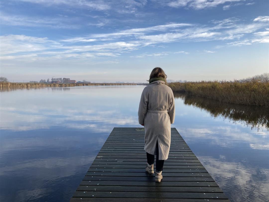
Icon description route Description

The creek area around Sint-Laureins seems made for walking. The flat polder land here offers endlesspanoramas. Reed-fringed creeks are brimming with life. The small villages around them, such as St. John-in-Eremo, seem sleepy, but appearances can be deceiving.

automatic translation

Icon nodes to follow nodes to follow

Image node 53
0 km
Image node 54
1 km
Image node 55
2.2 km
Image node 73
2.9 km
Image node 72
3.1 km
Image node 83
4.4 km
Image node 25
5.7 km
Image node 24
6.8 km
Image node 22
7.1 km
Image node 23
9.3 km
Icon deviation route
10.6 km
Icon deviation route
10.6 km
Image node 85
10.6 km
Image node 86
11.9 km
Image node 84
13.6 km
Image node 83
14.3 km
Image node 53
14.8 km
This route does not have any reviews yet. Be the first!
Rate route!

Which POI do you want to show on the map?

Experimental hiking network
Unsigned icon

The route you have chosen runs (partly) along an experimental virtual hiking node network (the blue-coloured nodes and sections on the map).

You must be logged in to plan routes here.

Experimental hiking network
Unsigned icon

The route you have chosen runs (partly) along an experimental virtual hiking node network (the blue-coloured nodes and sections on the map).

These routes are not controlled in the field. Before you start hiking here, take a minute to read what an experimental hiking node network is and what rules you should follow when hiking here.