 Hiking
 Login
Login
 More
More
 EN
EN
 Premium
10,000 step walk Strombeek-Bever
automatic translation
8.5 km • Grimbergen
1.7200 2 1/5
route offered by
Toerisme Grimbergen
 Addresse starting point (approximate)
Sint-Amandsplein, 1853 Strombeek-Bever (Grimbergen)
 signage
The route is not signposted. Use a GPS device or our app to follow the route.
 Description
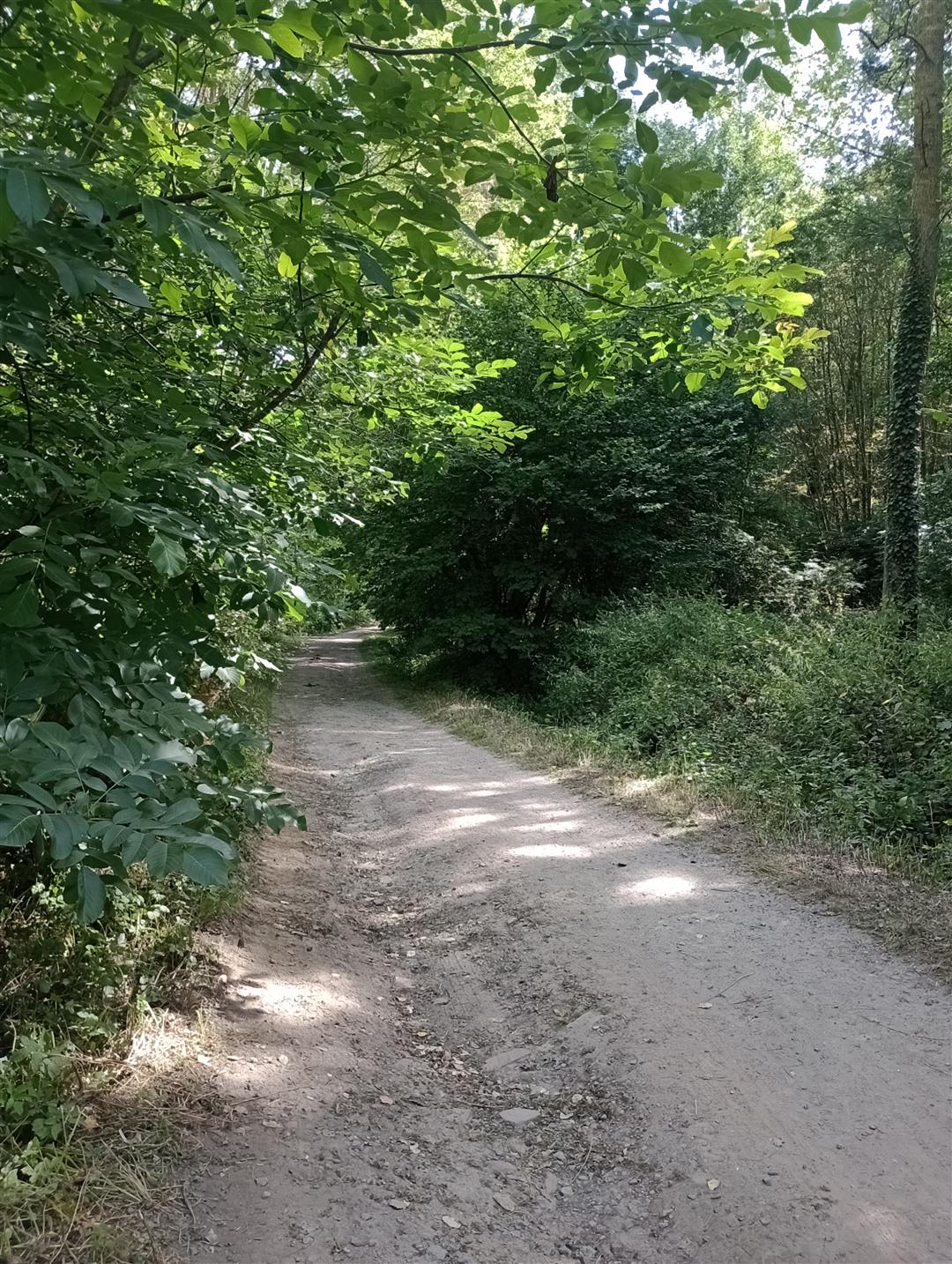
Start the walk the center of Strombeek. Afterwards you will arrive in the Beverbos.
The Beverbos is a nature reserve located along the Maelbeek between Strombeek-Bever and Wemmel.
The name Beverbos refers to the hamlet of Bever (Strombeek-Bever) and the castle of Bever that lies in the Maelbeek Valley.
This 8.5 km hike has it all. Greenery, nature and this in the vicinity of Brussels.
Did you follow the entire hike? Congratulations, then you have done 12,143 steps!
starting point: Sint-Amandsplein (opposite the church) - 1853 Strombeek-Bever
Parking is available at the starting point
NOTE: This is a virtual hike. It is not signposted.
You can pick up the printed version of the walking route for free at the Grimbergen Local Government Tourism Office.
This walk is offered by the Grimbergen Local Government.
automatic translation
Monday, May 19, 2025 by Denise DeclercqVery poorly marked no junctions no street names not maintained trails very muddy sections large stretches with no hiking trail along major lanes and ring...in short not recommended 18/5/25
automatic translation
Monday, July 8, 2024 by F.D.Only a small part of the ride is interesting, as most of the itinerary runs along the ring road on very narrow cycle paths with bikes whizzing past you at full speed.... Some of the paths in the woods are impassable. In short, not a very good ride, and not recommended in our opinion...
automatic translation


 Upgrade to Premium Plus
