 Hiking
 Login
Login
 More
More
 EN
EN
 Premium
Lambiekstoemperwandeling
8.8 km • Halle
 official route
5.82715 4 3.1/5
route offered by
 Addresse starting point (approximate)
Station Halle, Vandenpeereboomstraat, 1500 Halle
 signage
The route is partially signposted with nodes. Use a GPS device or our app to follow the route through virtual nodes.
 Description
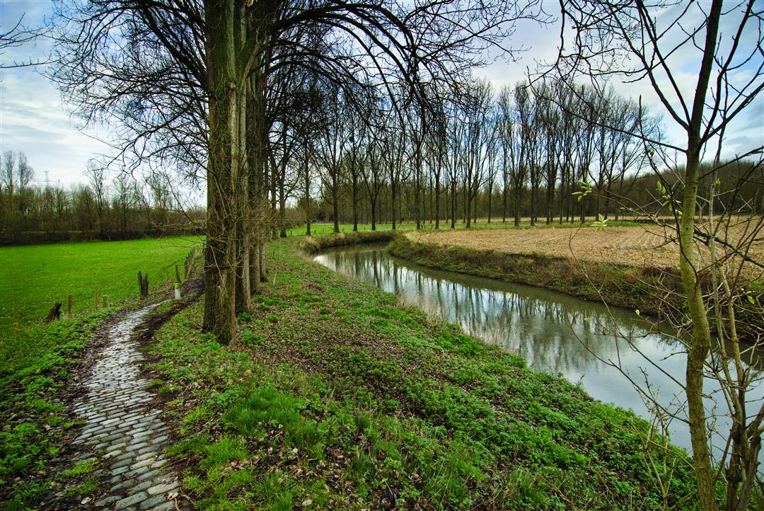
Take a walk through the historic heart of Halle and then into the greenery of the Zenne Valley. Follow the Zennepad to the Eizingen mill site and the play forest, pass through Buizingen Park and Nederhempark, and stroll beneath the trees of the Kluisbos. Did you know that the St. Vincentius Church in Buizingen doesn’t have a tower? It does, however, have a listed 18th-century organ. Oh, and in the old days, people used a “lambiek stoemper” to crush a sugar cube into a glass of geuze or lambic to make it sweeter.
Before you set out: This walk is not signposted; use a map, GPS device, or our app to follow the route.
automatic translation
 nodes to follow
0 km
0.4 km
0.6 km
0.9 km
1.9 km
4.4 km
5.7 km
5.9 km
6 km
7.8 km
8.8 km
Sunday, October 12, 2025 by C.P.Hike with occasional nice patches of green along the way ...but no wow feeling.
automatic translation
Sunday, September 7, 2025 by Gert Mentensbeautiful route
automatic translation
Monday, October 2, 2023 by Sonny Samynnice route, too bad it is not signposted. one needs a mobile device to find the way, and that goes against my principles to make a nice hike. you always have to consult a gps and I find following the signs with free hands much more pleasant than constantly checking on your mobile device if you are on the route
automatic translation
Sunday, October 1, 2023 by M.P.Not well signposted at all. We started at node 396. We didn't see junction 6. Using plan, I knew it was along peereboom street. But then we didn't find junction 617 either. I had printed map but it was not detailed enough with the street names.
automatic translation
Friday, November 10, 2023 by T.H.The territory of Halle is only partially marked with physical hiking node signs (hiking network Pajottenland). The remaining part of the territory (walking network Zennevallei) has been extended with virtual nodes since September. Purple node = virtual; red = physical sign.
automatic translation


 Upgrade to Premium Plus
