 Hiking
 Login
Login
 More
More
 EN
EN
 Premium
Alambicwandeling
7.1 km • Halle
 official route
4.11516 4 4.5/5
route offered by
 Addresse starting point (approximate)
Station Lembeek, Stationstraat , 1502 Lembeek
 signage
The route is not signposted. Use a GPS device or our app to follow the route through the virtual nodes.
 Description
One claims that "alambic" is a corruption of the name Lembeek, while "alambic" could also come from the French alambic,which is a kind of distilling device used by gin distillers, among many others. The latter were also active in the former free state of Lembeek. Unfortunately, of the 30 genever distilleries, none remains in Lembeek.
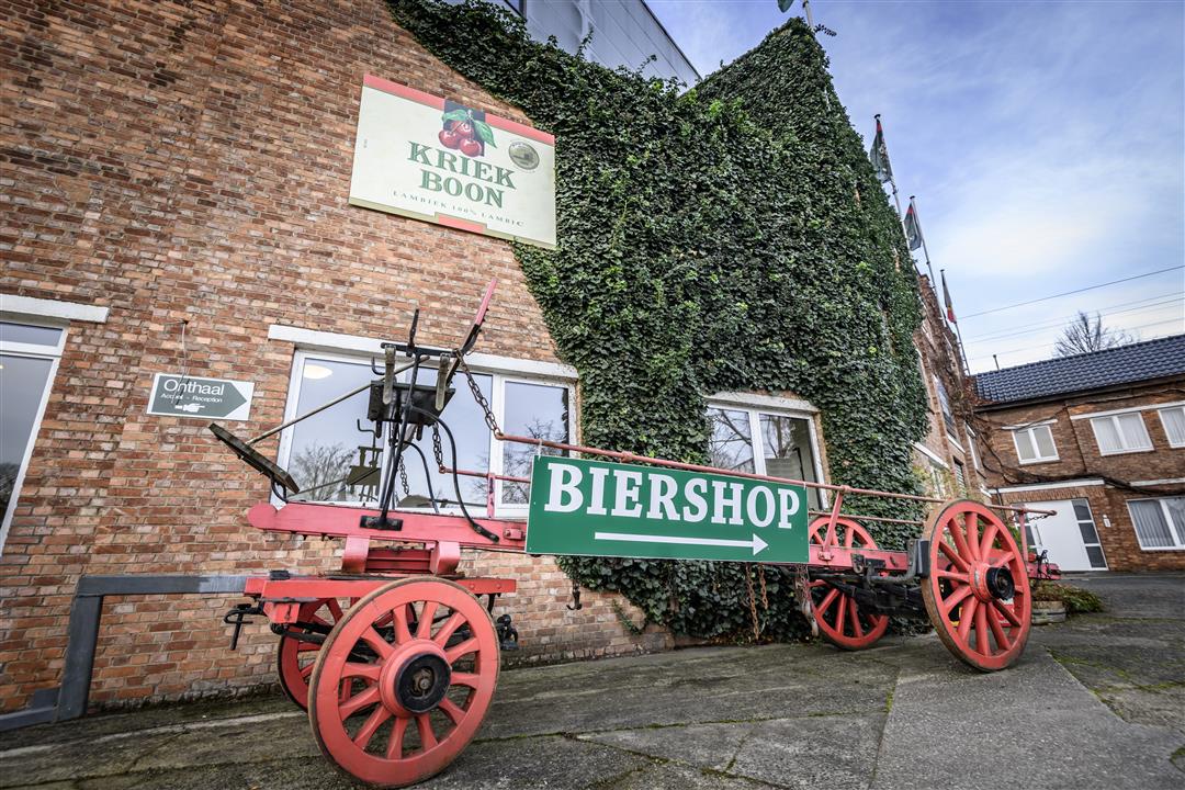
From alambic to lambic beer, typical of the Zenne Valley, where wild yeasts from the open air provide the spontaneous fermentation of the beer. In Lembeek, on the banks of the Zenne and the Brussels-Charleroi canal, you can be sure to taste a tender lambic somewhere, e.g. in the Boon Bar of the Boon brewery.
In the Malakoff domain, you will discover a ruined tower, which gin baron Paul Claes, the mayor of Lembeek, had built in 1854 in a reckless mood, with a nod to the fortress that stood in this meander bend of the Zenne in the 11th century.
On Easter Monday, the traditional Saint-Veroon march takes place in Lembeek. During this procession, the inhabitants walk through the streets of the village in soldiers' clothing in honor of their patron saint.
The walk is not signposted, use a map, GPS device or our app to follow the walk.
automatic translation
 nodes to follow
0 km
0.1 km
1.1 km
1.2 km
1.4 km
1.9 km
2.1 km
2.6 km
3.1 km
3.8 km
5 km
5.4 km
5.6 km
6.3 km
6.9 km
7.1 km
Sunday, January 18, 2026 by Charlotte SebbarhBeautiful walk
automatic translation
Wednesday, June 4, 2025 by J.V.Beautiful walk
automatic translation
Sunday, May 11, 2025 by Nathalie Mazzantipicturesque little hamlet. We recommend it.
automatic translation
Saturday, September 14, 2024 by J.R.Very much variety and in quiet area really recommended.
automatic translation


 Upgrade to Premium Plus
