 Hiking
 Login
Login
 More
More
 EN
EN
 Premium
Zibboudsrodepad
automatic translation
8.4 km • Antwerp
4.9436 1 2/5
route offered by
Toerisme Provincie Antwerpen
 Addresse starting point (approximate)
Fort 6, 2610 Wilrijk
 signage
The route is fully signposted with thematic signs (no nodes).
 Description
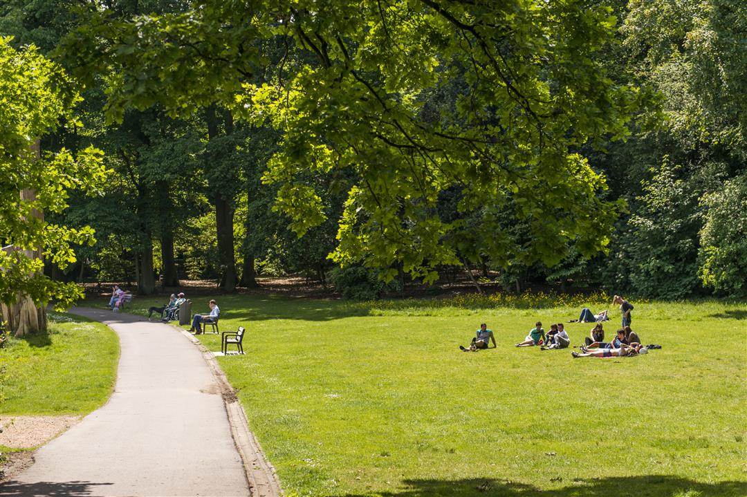
The ideal opportunity to discover the most beautiful places in the Zuidrand together with your family, friends or hiking club!
Hiking Area Zuidrand offers you a selection of 195 km of hiking loops along castle estates, forts, stream valleys, forest complexes and agricultural areas typical of this region.
automatic translation
Friday, January 2, 2026 by Kristien MellebeekBeautiful sections in this route, but extremely poorly signposted. The app is really necessary. You also walk quite a lot between residential blocks and even a bit through industrial areas. The first part is beautiful and fortunately the last km is a dirt road, albeit next to the loud E19.
automatic translation


 Upgrade to Premium Plus
