 Hiking
 Login
Login
 More
More
 EN
EN
 Premium
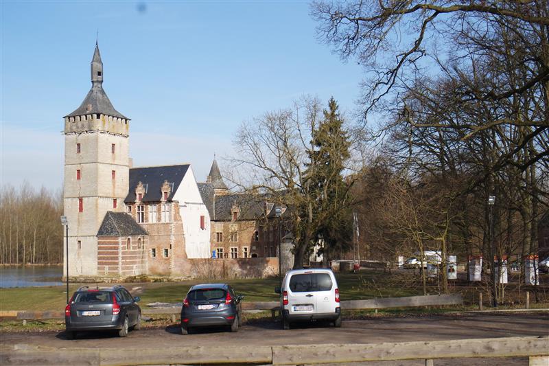
Castle of Horst route
automatic translation
12.9 km • Holsbeek
 official route
3.5110 2 5/5
route offered by
 Addresse starting point (approximate)
Horststraat 28, 3220 Holsbeek
 signage
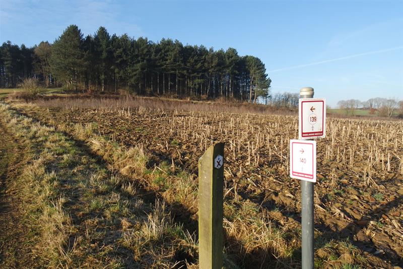
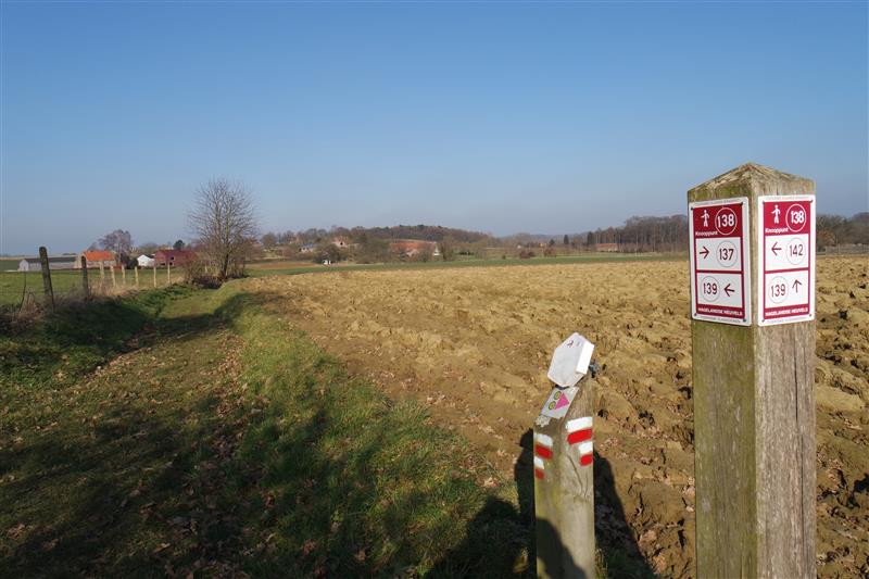
The route is fully signposted with nodes.

 Description
The start of this hiking trail is at the Castle of Horst in Sint-Pieters-Rode, a borough of Holsbeek. Among other things, the castle is home to Willy Vandersteen's cartoon character "The Red Knight" and is well preserved. The route runs mainly along meadows and woods. The Hageland boasts a beautiful rolling landscape.
Ironstone is partly responsible for the formation of these hills. Hollow roads, forest paths, short cobblestone stretches and the occasional slight climb characterize this hike. After about 5.5 km of walking you come across the Gempemolen (St. Joris-Winge), a water mill built in the 12th century. This structure also contains a beautiful brasserie where you can stop to quench your thirst and possibly stop your hunger.
A few kilometers further on, after a short "climb" of the Roeselberg in Houwaart, you reach the chapel O.L.V. ter Stokskens where you are treated to a beautiful view. Via the village of Houwaart you return along winding roads towards Horst Castle.
automatic translation
 nodes to follow
0 km
0.7 km
1.8 km
2.8 km
3.9 km
4.7 km
5.1 km
5.3 km
5.3 km
6.3 km
7.4 km
7.6 km
8.6 km
9.7 km
10 km
10.3 km
10.6 km
12.5 km
12.8 km
Saturday, January 23, 2021 by B.R.even though it was January and there was quite a lot of mud this is an absolute must top walk lots of up and down through field and forest just beautiful
automatic translation
Sunday, November 22, 2020 by G.V.Beautiful walk, very varied, between fields and forests, almost only along field and forest paths, very well marked via junction points
automatic translation


 Upgrade to Premium Plus
