 Hiking
 Login
Login More
More EN
EN Premium
Buizegempad
automatic translation
7.8 km • Edegem
 official route
6210 0 0/5
7.8 km
0.0 km
0.0 km
 Addresse starting point (approximate)
Romeinse Put 97, 2650 Edegem
 signage
The route is fully signposted with thematic signs (no nodes).
© Zuidrand
 Description
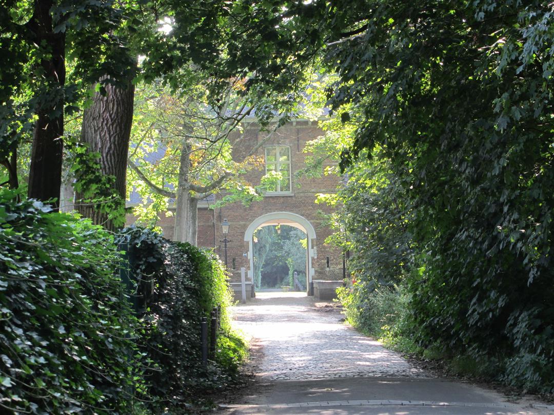
The ideal opportunity to discover the most beautiful places in the Zuidrand together with your family, friends or hiking club!
Hiking Area Zuidrand offers you a selection of 195 km of hiking loops along castle estates, forts, stream valleys, forest complexes and agricultural areas typical of this region.
automatic translation


 Upgrade to Premium Plus
