 Hiking
 Login
Login
 More
More
 EN
EN
 Premium
Borsbekenpad
automatic translation
5.6 km • Borsbeek
6.44418 4 4.1/5
route offered by
Toerisme Provincie Antwerpen
 Addresse starting point (approximate)
Fort 3, 2150 Borsbeek
 signage
The route is fully signposted with thematic signs (no nodes).
 Description
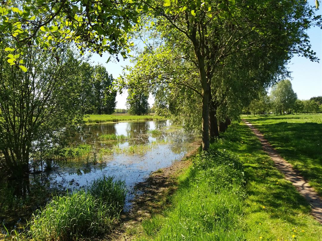
The ideal opportunity to discover the most beautiful places in the Zuidrand together with your family, friends or hiking club!
Hiking Area Zuidrand offers you a selection of 195 km of hiking loops along castle estates, forts, stream valleys, forest complexes and agricultural areas typical of this region.
automatic translation
Monday, March 23, 2026 by Myriam Van Den Bergh Follow the green arrow
automatic translation
Sunday, October 5, 2025 by K.M.You have to follow the big (dark) green arrow. Fine route, nice greenery and an animal here and there in the field.
automatic translation
Saturday, September 27, 2025 by R.V.I was a little apprehensive, so close to Antwerp. But it was worth doing this hike.
automatic translation
Friday, February 16, 2024 by J.J.Surprising amount of space and greenery so close to city and airport. Very varied along fortresses, then again on village paths to pristine meadows along streams and creeks and the accompanying pollard willows. Beautiful in all seasons. Fine hiking area for those who don't want to drive too far out of town. Highly recommended!
automatic translation
Sunday, September 7, 2025 by Chantal TherssenLooks nice indeed and close by. Going to do this one soon.....
automatic translation


 Upgrade to Premium Plus
