
 Hiking
 Login
Login
 More
More
 EN
EN
 Premium
Rozendaalwandeling
7.4 km • Tienen
 official route
4.96811 4 4.6/5
route offered by

 Addresse starting point (approximate)
Sint-Maartenskerk, Metselstraat, 3300 Vissenaken (Tienen)
 signage
The route is signposted with thematic signs (no nodes). You can use a GPS device or our app to follow the route through the virtual nodes.
 Description
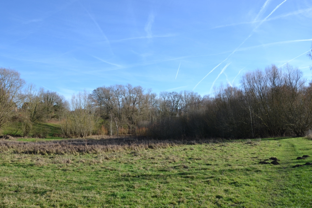
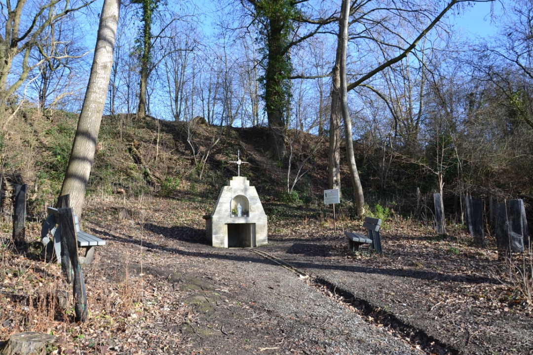
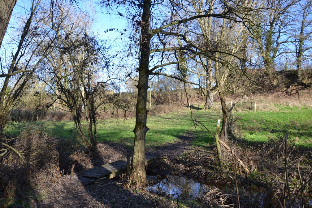
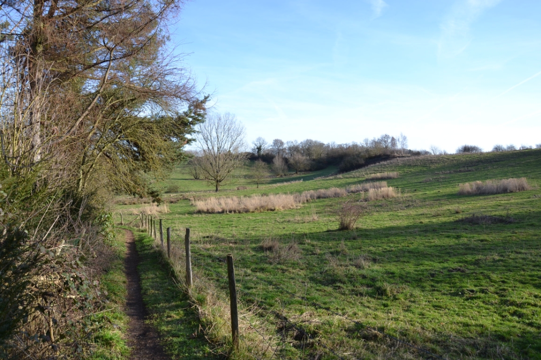
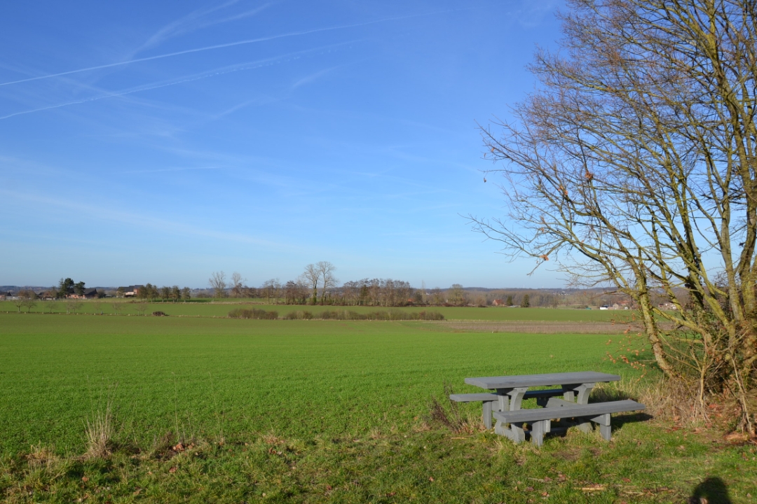
This beautiful nature walk takes you through the Rozendaalbeek Valley. You’ll pass the Sint-Hymelienus Spring, and at the De Gors nature center, you’ll find a public composting toilet. The wildflowers in the grasslands add a splash of color, and with a little luck, you might spot local wildlife such as the curlew, yellowhammer, and stonechat. Be sure to wear boots or sturdy hiking shoes, as the trails can be marshy.
This hike is offered by Tourism Flemish Brabant and Natuurpunt Velpe-Mene.
Before you set out: This is a walk on a virtual hiking network. The junctions are not marked on the ground. Follow the wooden post with the yellow ball.
automatic translation
 nodes to follow
0 km
1 km
2 km
2.4 km
3.6 km
4 km
5.5 km
5.5 km
6.6 km
7.3 km
Sunday, August 16, 2026 by Cy ThijsA lovely walk. There are also plenty of places to eat and drink nearby where you can grab a bite or a drink afterward, if you'd like.
automatic translation
Tuesday, May 6, 2025 by Johan Ginkelsvery nice walk, very little traffic, beautiful views and many flowers.
automatic translation
Sunday, December 29, 2024 by L.V.What a great hike this is! Beautiful, hidden spots discovered. Few paved roads, lots of variety. In wet weather you need sturdy footwear. And it's best not to be afraid of cows either ;-)
automatic translation
Saturday, January 28, 2023 by P.P.Very nice walk, discovered by chance, there are signs, yellow for 7 km and blue for 10 km. Varied, with many views and quiet. Not too boggy.
automatic translation



 Upgrade to Premium Plus


