 Hiking
 Login
Login
 More
More
 EN
EN
 Premium
Monastery forest hiking trail
automatic translation
4.7 km • Lochristi
 official route
4.89610 2 5/5
4.7 km
0.0 km
0.0 km
 Addresse starting point (approximate)
Gebroeders Naudtslaan, 9060 Lochristi
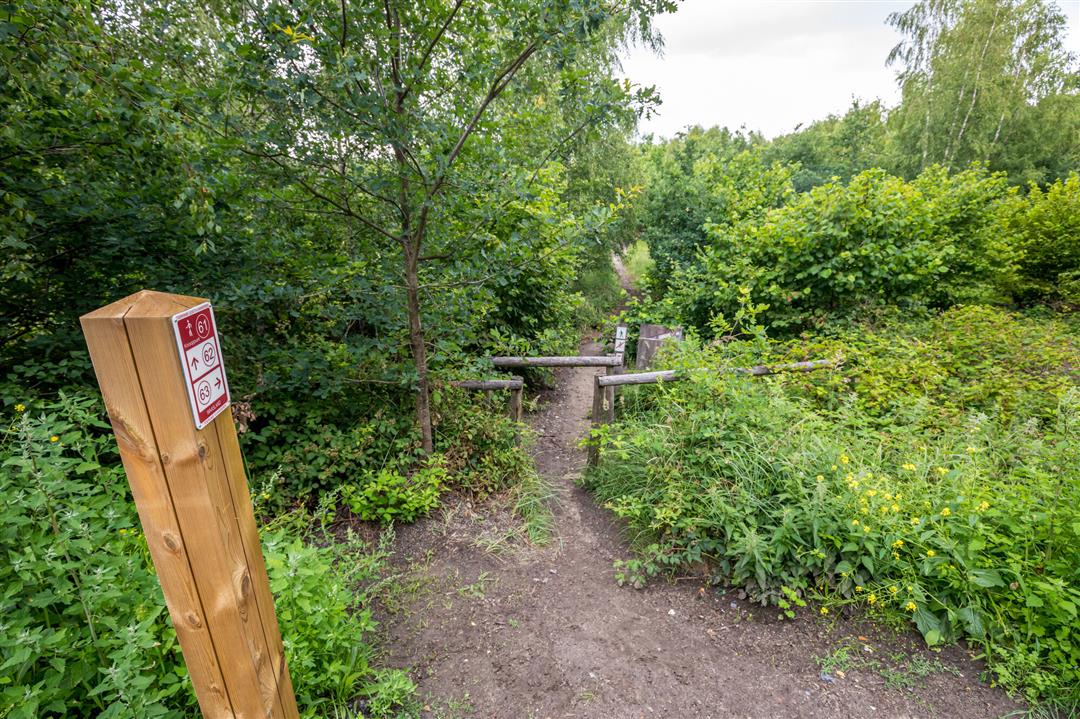
 signage
The route is fully signposted with nodes.
© Toerisme Oost-Vlaanderen
 Description
This hike takes you to the Kloosterbos, a green lung between Zelzate and Wachtebeke.This hike takes you to the Kloosterbos, a green lung between Zelzate and Wachtebeke, where narrow forest paths lead you past towering trees in a sea of ferns, open sandy plains and a play area for the littlest strollers.
TheKloosterbos walking routeis offered to you byRouten, an initiative of Tourism East Flanders.
automatic translation
 nodes to follow
0 km
0.5 km
1.1 km
1.4 km
1.9 km
2.7 km
4.8 km


 Upgrade to Premium Plus
