 Hiking
 Login
Login
 More
More
 EN
EN
 Premium
Wildegistenwandeling
13.5 km • Dilbeek
 official route
7.15626 7 5/5
route offered by
 Addresse starting point (approximate)
Sint-Gertrudiskerk, Isabellastraat 39, 1703 Schepdaal (Dilbeek)
 signage
The route is fully signposted with nodes.
 Description
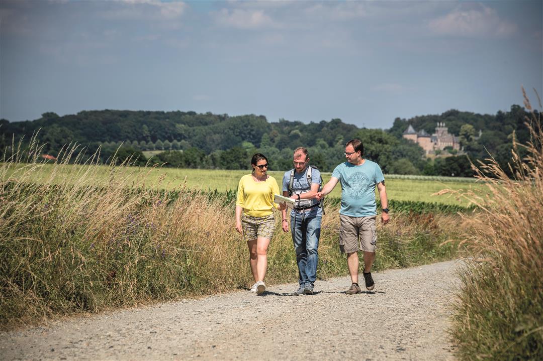
Take a walk through the land of lambic beer. You can’t see them, but the wild yeasts float here through an open, rolling landscape where the draft horses and watermills still stand just as they did when Bruegel roamed these lands. It’s wonderful to stroll through the green castle estates of Gaasbeek and Groenenberg. And of course, you’ll want to sample some, so visit one of the four lambic breweries along the way: Kestemont Brewery, Lindemans Brewery, ’t Guldenhooft HUB Brewers, or 4Pajot.
automatic translation
 nodes to follow
0 km

0.1 km
0.3 km
0.6 km
0.9 km
1.6 km
1.8 km
3.1 km
3.6 km
3.9 km
5.3 km
5.8 km
6.4 km
7.6 km
8.7 km
9.3 km
9.9 km
10.4 km
12.1 km
12.6 km
12.9 km
13.2 km
13.3 km
13.4 km

13.5 km
Thursday, February 12, 2026 by philippe LemaireA wonderful walk, and at this time of year there aren't many people around.
automatic translation
Sunday, August 17, 2025 by stijn seversSuper nice walk
automatic translation
Wednesday, February 5, 2025 by V.V.Recommended, varied with some beautiful views. Also the paved roads are quiet without too much car traffic.
automatic translation
Saturday, August 31, 2024 by M.D.Beautiful hike. Pretty much no highways. Definitely doing it again.
automatic translation
Monday, November 27, 2023 by K.D.Very nice. Thank you very much.
automatic translation
Sunday, October 8, 2023 by P.B.Did the hike yesterday, very beautiful and very varied. Well indicated. Tip: at the start or end you have a few meters further past the church, brewery Kestemont, highly recommended on a very nice farm.
automatic translation
Friday, October 28, 2022 by B.L.very varied hike with interesting gueuze breweries on the route
automatic translation


 Upgrade to Premium Plus
