 Hiking
 Login
Login
 More
More
 EN
EN
 Premium
Sint-Elooiskreek hiking trail
automatic translation
10 km • Terneuzen
 official route
4.7999 3 3.2/5
 Addresse starting point (approximate)
Overslag 46, 9185 Wachtebeke
 signage
The route is fully signposted with nodes.
 Description
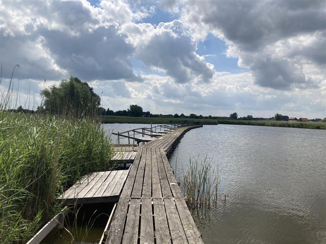
On this walking route you start at the village square of Overslag for a varied trip around the Sint-Elooiskreek. You will pass creeks, bushes and open fields, and the river Langelede will keep you company for a while.
The Sint-Elooiskreek walking route is offered to you by Routen, an initiative of Tourism East Flanders.
automatic translation
 nodes to follow
0 km
0.8 km
2.2 km
3.3 km
3.8 km
4.2 km
4.6 km
6 km
6.1 km
6.5 km
7 km
8.8 km
9.1 km
10 km
Sunday, April 12, 2026 by Karen WelanderA lovely walk; all the junction signs were in place and the numbers were correct.
automatic translation
Saturday, May 13, 2023 by Sofie VermeulenThe numbers of the nodes do not all match the directions. For example, you should not look for 4 but go in the direction of 71. Along the water it is best to follow the map when you have to follow a new number. Nice hike
automatic translation
Thursday, November 17, 2022 by Willy De Regge-HeysePretty nice walk to node 51, then according to us one or more poles were missing to get to node 35. Consequence , hike continued to starting point through the public road (about 5km). this was car free.
automatic translation


 Upgrade to Premium Plus
