 Hiking
 Login
Login
 More
More
 EN
EN
 Premium
Keerbergen heathland walk
7.6 km • Keerbergen
2.8422 2 1/5
route offered by
Toerisme Keerbergen
 Addresse starting point (approximate)
Mereldreef 3, 3140 Keerbergen
 signage
The route is not signposted. Use a GPS device or our app to follow the route.
 Description
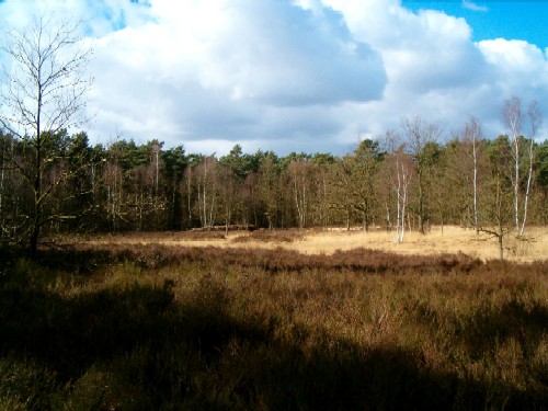
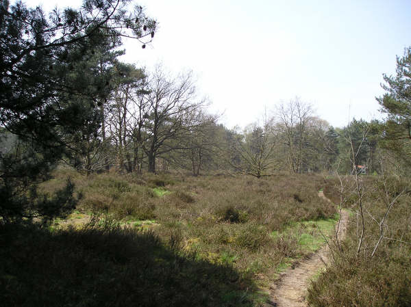
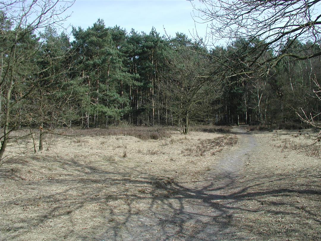
Walk between and across the heathlands of Kruisheide and Pommelsven and enjoy the typical heath fauna and flora. During this walk you will also see the colonial past of Keerbergen reflected in the street names.
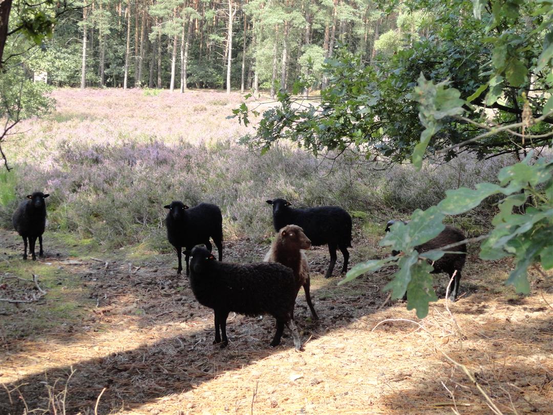
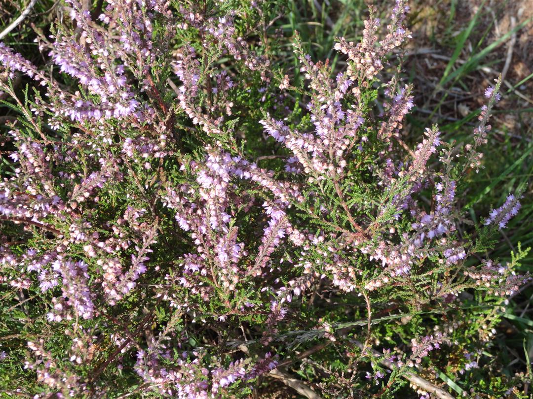
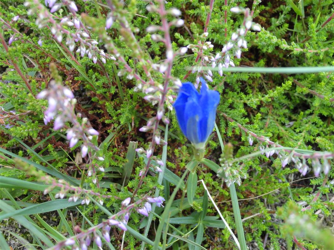
From May to July you can enjoy the concert of the field cricket on the Kruisheide. There is also a good chance that you will see black sheep here. In Pommelsven you will find heather and the rare bell gentian. In both areas live different species of solitary bees and wasps such as the heather bee, heather sand bee or the digger wasp.
This route was worked out by the Keerberg Environmental Council and is not signposted.
Monday, January 6, 2025 by J.W.Prefer to call it the vila route. The bit of heather, you're through there in less than 5 minutes. I think this walk was set up by a real estate office.
automatic translation
Sunday, May 22, 2022 by S.T.The heather and other fauna and flora as described are very scarce or not present in this walk. For the most part, it goes along paved roads in residential areas with the most exclusive villas. If you like to marvel at this, this hike is the right choice.
automatic translation


 Upgrade to Premium Plus
