 Hiking
 Login
Login
 More
More
 EN
EN
 Premium
Weekend Moervaart Valley hiking trail
automatic translation
24.6 km • Lokeren
 official route
3.18611 1 5/5
24.6 km
0.0 km
0.0 km
 Addresse starting point (approximate)
Molenstraat 8, 9180 Lokeren
 signage
The route is fully signposted with nodes.
© Toerisme Oost-Vlaanderen
 Description
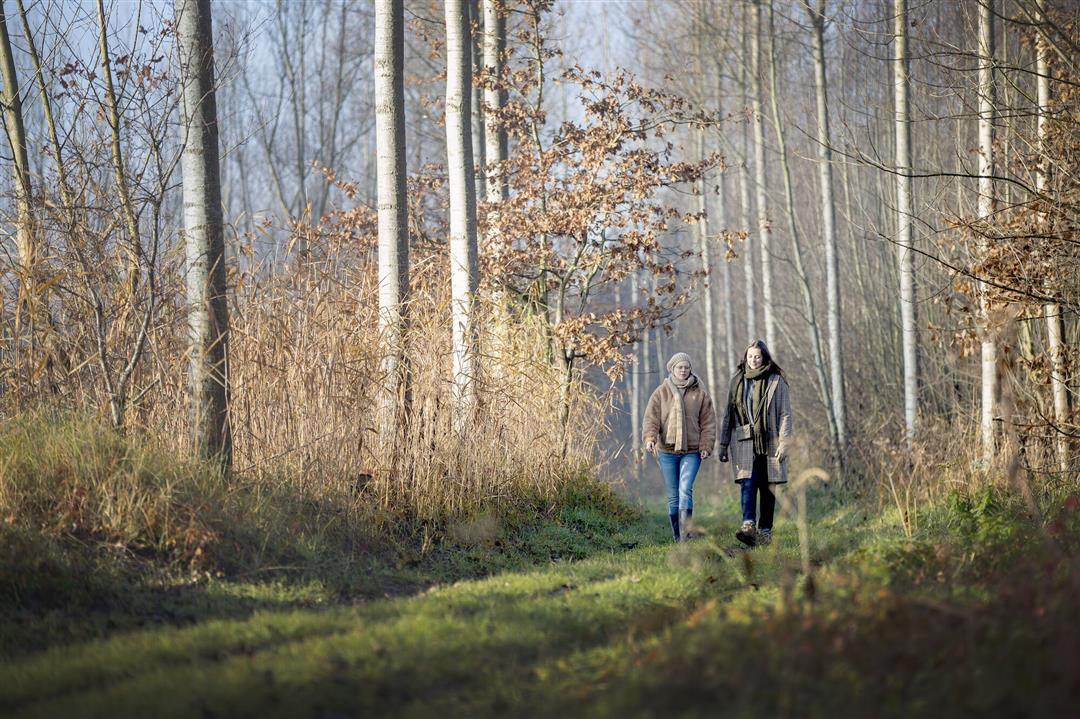
A long trip through northwestern Waasland, perfect for a two-day hike. The Moervaart Valley is a nature lover's paradise, as you pass by the typical Wase heathland, forests such as the Heidebos and the Kloosterbos, and the creeks. Not for nothing did the area earn a nomination to be recognized as a UNESCO Global Geopark.
TheWeekend Moervaartvallei walking routeis offered to you byRouten, an initiative of Tourism East Flanders.
automatic translation
 nodes to follow
0 km
0.8 km
1.3 km
2.5 km
2.6 km
5.5 km
5.8 km
6.1 km
7.2 km
9.6 km
11.1 km
11.4 km
11.9 km
12.4 km
12.5 km
13.2 km
13.6 km
14 km
15.1 km
16.6 km
17.4 km
17.8 km
20.9 km
21.2 km
21.5 km
22.4 km
22.7 km
24.2 km
24.5 km


 Upgrade to Premium Plus
