 Hiking
 Login
Login
 More
More
 EN
EN
 Premium
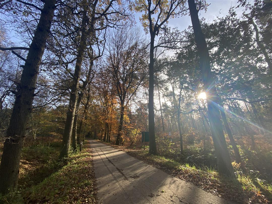
Heath forest hiking trail
automatic translation
9.3 km • Lokeren
 official route
7.53513 4 3.9/5
 Addresse starting point (approximate)
Keizershoek, 9180 Lokeren
 signage
The route is fully signposted with nodes.
 Description
Let yourself be surprised by the Heidebos, a varied piece of nature on the border of the Meetjesland and the Waasland. On this route you walk first along woods, then along meadows, through mighty drives and(what's in a name?) areas of heather.
TheHeidebos hiking trailis offered to you byRoutenan initiative of Tourism East Flanders.
automatic translation
 nodes to follow
0 km
2.1 km
2.4 km
3.6 km
5.5 km
5.6 km
6.8 km
7.6 km
8.7 km
8.8 km
9.2 km
Saturday, July 9, 2022 by Danny HoskensRead my full summary + photos at the link below: Copy and paste the link into your browser and read the whole thing. https://dmek1960.blogspot.com/2022/07/heideboswandeling-in-moerbeke-waas-91.html
automatic translation
Tuesday, June 21, 2022 by pascal de maesschalckNice varied walk, especially first part was very nice and quiet, too bad you can't get a drink anywhere
automatic translation
Tuesday, January 18, 2022 by J.V.Beautiful hike through varied vegetation, gem!
automatic translation
Wednesday, December 8, 2021 by F.B.Please note, between nodes 51 and 54, the trail is not accessible to dogs; even on a leash !!!
automatic translation


 Upgrade to Premium Plus
